Small airport · India

Kalaburagi AirportVOGB
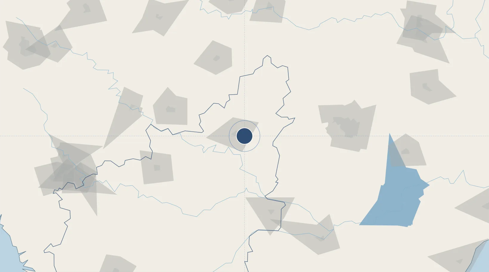
17.3082°, 76.9652°
10,417 ft
Longest runway
1
Runways
1,571 ft
Elevation

Runway & Layout

Kalaburagi Airport runway & taxiway layout
Runway & taxiway layout — OpenStreetMap (ODbL) / OurAirports

Runways · 1

RunwayDimensions SurfaceTrue headingLit
09/27 10,417 × —ft Asphalt
OurAirports

Airport Specifications

IATA code
GBI
OurAirports
ICAO code
VOGB
OurAirports
Airport class
Small airport
OurAirports
Scheduled service
Yes
OurAirports
Runway surface
Asphalt
OurAirports
Served city
Kalaburagi
OurAirports

Location

Location of VOGB
Natural Earth 10m (public domain) · Karnataka · VOGB · 17.31, 76.97GoogleOSMYandex

Nearby Logistics Neighbours

Airports
  1. 1Bidar Airport / Bidar Air Force Station87 km
  2. 2Solapur Airport115 km
  3. 3Murod Kond Airport134 km
  4. 4Rajiv Gandhi International Airport156 km
  5. 5Dundigul Air Force Academy157 km
Nearest neighbours — logibook spatial index (haversine) over the source coordinates
Cities
  1. 1Tumkur91 km
  2. 2Igel Sez/Kodur-Settipali120 km
  3. 3APIICL-SEZ/Mahabaoobnagar126 km
  4. 4Balanagar133 km
  5. 5CMTL ICD/Thimmapur141 km
Nearest neighbours — logibook spatial index (haversine) over the source coordinates
Ports
  1. 1Panaji391 km
  2. 2Ratnagiri393 km
  3. 3Jaigarh Bay398 km
  4. 4Marmagao398 km
  5. 5Port Dabhol404 km
Nearest neighbours — logibook spatial index (haversine) over the source coordinates
Trade Zones
  1. 1Apiic Pharma SEZ - Jedcherla139 km
  2. 2Wipro Limited, Manikonda142 km
  3. 3Infopark Special Economic Zone142 km
  4. 4DLF Commercial Developers Ltd, Gachibowli148 km
  5. 5Lanco Hills Technology, Manikonda150 km
Nearest neighbours — logibook spatial index (haversine) over the source coordinates
DatabookThe Record of Consolidated Knowledge
India beyond logistics?
Browse databook

All Sources

AirportsOurAirports
Public domain
Portsthe NGA World Port Index
Public domain (US gov)
LocationsUN/LOCODE
UN/LOCODE — free
Trade Zonesthe World Bank SEZ database
CC BY 4.0
Trade ZonesOpen Zone Map
CC BY
InfrastructureOpenStreetMap
ODbL 1.0
← India airports