UN/LOCODE hub · India
INFMH

Hgsezl-SEZ/Ranga Reddy

17.3667°, 78.4667°
1
Transport functions

Transport Functions

Multimodal
UN/LOCODE

Hub Profile

Region
AP
GeoNames

Location

Location of INFMH
Natural Earth 10m (public domain) · AP · INFMH · 17.37, 78.47GoogleOSMYandex

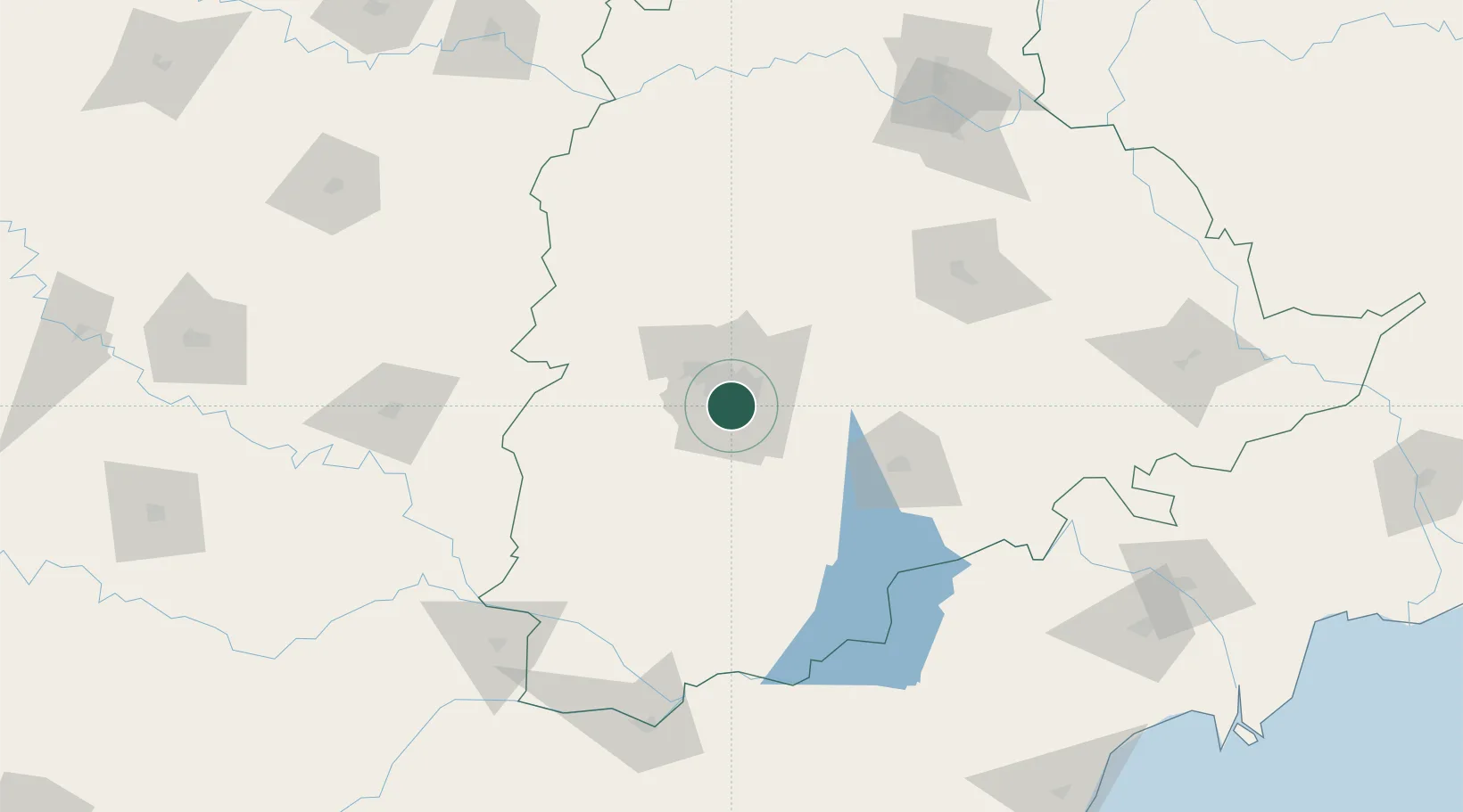
Nearby Logistics Neighbours

Cities
  1. 1APIICL-SEZ/Ranga Reddy0 km
  2. 2Hyderabad15 km
  3. 3CMTL ICD/Thimmapur30 km
  4. 4Raidurg39 km
  5. 5ITL SEZ/Ranga Reddy41 km
Nearest neighbours — logibook spatial index (haversine) over the source coordinates
Ports
  1. 1Kattupalli Port390 km
  2. 2Kakinada Bay411 km
  3. 3Kamarajar Port499 km
  4. 4Gangavaram508 km
  5. 5Chennai (Madras)514 km
Nearest neighbours — logibook spatial index (haversine) over the source coordinates
Airports
  1. 1Begumpet Airport10 km
  2. 2Rajiv Gandhi International Airport16 km
  3. 3Dundigul Air Force Academy30 km
  4. 4Bidar Airport / Bidar Air Force Station120 km
  5. 5Kalaburagi Airport160 km
Nearest neighbours — logibook spatial index (haversine) over the source coordinates
Trade Zones
  1. 1Apiic Ltd & L&T, Kesarapalli4 km
  2. 2Nsl SEZ, Uppal6 km
  3. 3Dr. Reddys Laboratories Ltd8 km
  4. 4Myron Realtors Private Limited9 km
  5. 5Hyderabad Specialized Zone (Gems) SEZ9 km
Nearest neighbours — logibook spatial index (haversine) over the source coordinates
DatabookThe Record of Consolidated Knowledge
India beyond logistics?
Browse databook

All Sources

LocationsUN/LOCODE
UN/LOCODE — free
Portsthe NGA World Port Index
Public domain (US gov)
AirportsOurAirports
Public domain
Trade Zonesthe World Bank SEZ database
CC BY 4.0
Trade ZonesOpen Zone Map
CC BY
← India locations