Specialized Zone · India

Dr. Reddys Laboratories Ltd Active
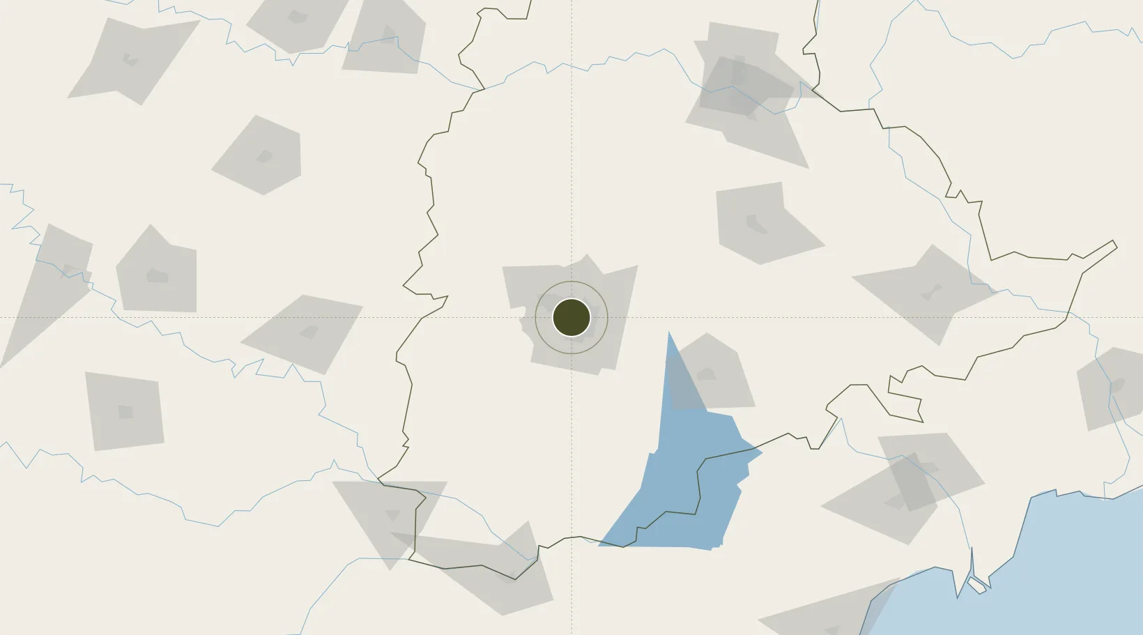
17.4353°, 78.4443°
103 ha
Zone area
397.6 km
Nearest port
3.2 km
Nearest airport

Gateway access

Nearest neighbours — logibook spatial index (haversine) over the source coordinates

Zone profile

Zone type
Specialized Zone
Open Zone Map
Specialization
Biotech
Open Zone Map
Region
Telangana
Open Zone Map
Status
Active
Open Zone Map
Management
Private
Open Zone Map
Operator
Dr. Reddy's Laboratories Ltd
Open Zone Map
Legal framework
LoA No.24/DRL/SKL-1/SSSEZ/2010 dated: 13.01.2010
Open Zone Map

Location

Location of ozm-2171
Natural Earth 10m (public domain) · Telangana · ozm-2171 · 17.44, 78.44GoogleOSMYandex

Nearby Logistics Neighbours

Ports
  1. 1Kattupalli Port398 km
  2. 2Kakinada Bay414 km
  3. 3Kamarajar Port507 km
  4. 4Gangavaram510 km
  5. 5Vishakhapatnam516 km
Nearest neighbours — logibook spatial index (haversine) over the source coordinates
Airports
  1. 1Begumpet Airport3 km
  2. 2Dundigul Air Force Academy22 km
  3. 3Rajiv Gandhi International Airport23 km
  4. 4Bidar Airport / Bidar Air Force Station114 km
  5. 5Kalaburagi Airport158 km
Nearest neighbours — logibook spatial index (haversine) over the source coordinates
Cities
  1. 1APIICL-SEZ/Ranga Reddy8 km
  2. 2Hgsezl-SEZ/Ranga Reddy8 km
  3. 3Hyderabad8 km
  4. 4Raidurg34 km
  5. 5CMTL ICD/Thimmapur35 km
Nearest neighbours — logibook spatial index (haversine) over the source coordinates
Trade Zones
  1. 1Nsl SEZ, Uppal3 km
  2. 2Hyderabad Specialized Zone (Gems) SEZ3 km
  3. 3Myron Realtors Private Limited4 km
  4. 4Apiic Ltd & L&T, Kesarapalli5 km
  5. 5OMICS International6 km
Nearest neighbours — logibook spatial index (haversine) over the source coordinates
DatabookThe Record of Consolidated Knowledge
India beyond logistics?
Browse databook

All Sources

Trade ZonesOpen Zone Map
CC BY
Portsthe NGA World Port Index
Public domain (US gov)
AirportsOurAirports
Public domain
LocationsUN/LOCODE
UN/LOCODE — free
← India trade zones