Medium airport · India
Bidar Airport / Bidar Air Force StationVOBR
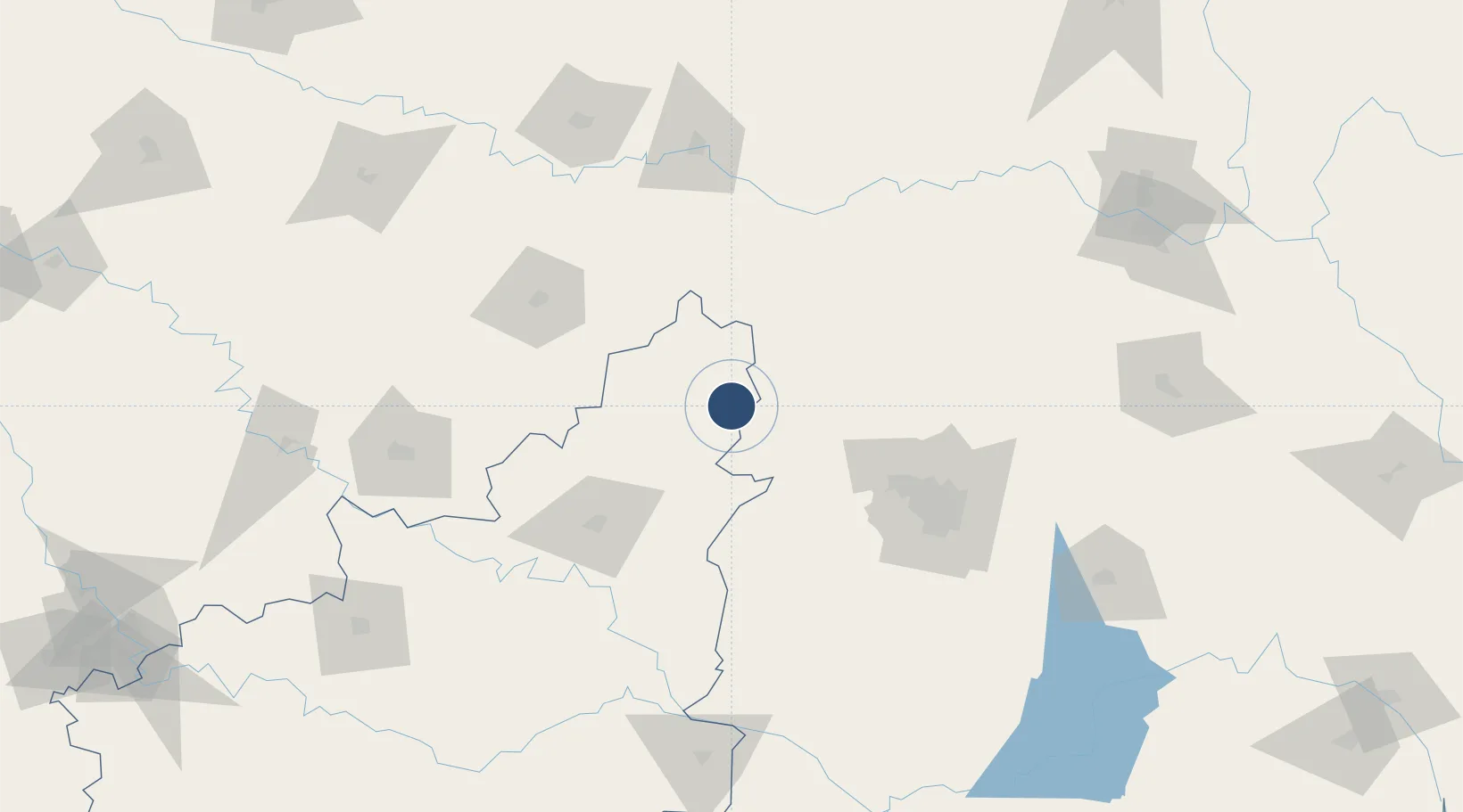
17.9081°, 77.4871°
6,955 ft
Longest runway
2
Runways
2,178 ft
Elevation
Runway & Layout

Radio Frequencies
Twr
123.5 MHz
APP
122.85 MHz
Navaids
BR NDB Bidar 240 kHz
Runways · 2
| Runway | Dimensions | Surface | True heading | Lit |
|---|---|---|---|---|
| 02/20 | 6,955 × 148ft | Asphalt | 018° | ✓ |
| 08/26 | 6,798 × 150ft | Asphalt | 078° | ✓ |
Airport Specifications
IATA code
IXX
ICAO code
VOBR
Airport class
Medium airport
Scheduled service
No
Runway surface
Asphalt
Served city
Bidar
Location
Nearby Logistics Neighbours
Airports
- 1Kalaburagi Airport87 km
- 2Dundigul Air Force Academy102 km
- 3Begumpet Airport116 km
- 4Murod Kond Airport122 km
- 5Rajiv Gandhi International Airport125 km
Cities
- 1Igel Sez/Kodur-Settipali60 km
- 2Santa-SEZ/Muppireddipally84 km
- 3Rll-SEZ/Medak84 km
- 4APIICL-SEZ/Medak84 km
- 5VBTL-SEZ/Medak84 km
Ports
- 1Ratnagiri458 km
- 2Jaigarh Bay458 km
- 3Port Dabhol459 km
- 4Panaji474 km
- 5Marmagao481 km
DatabookThe Record of Consolidated Knowledge
India beyond logistics?