Seaport · India
Kamarajar PortINENR
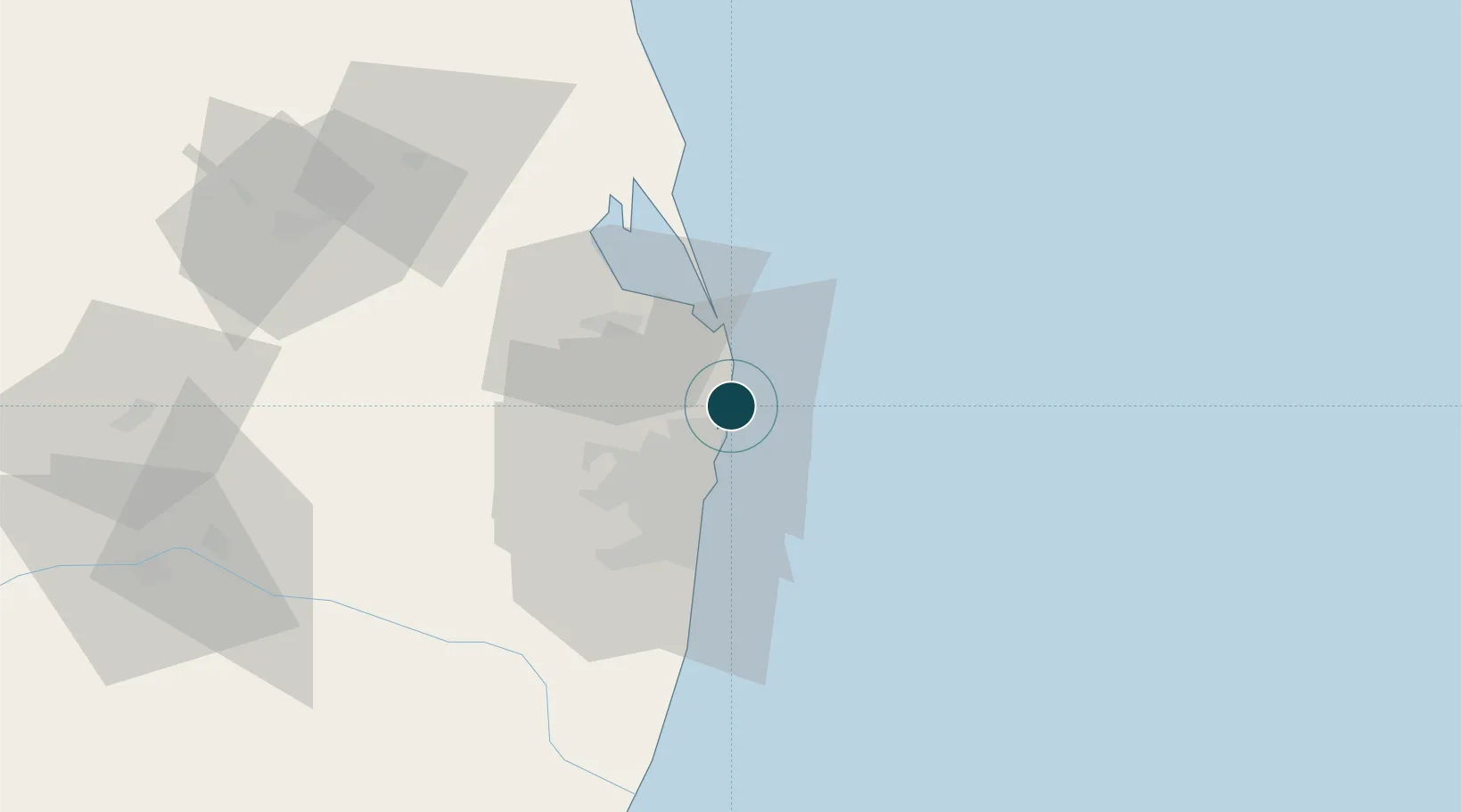
13.2614°, 80.3425°
15.5 m
Channel depth
1
Container terminals
92.9
Port liner connectivity
Channel & Berth Profile
Pilotage, Tugs & Services
Pilotage compulsoryYES
Pilotage availableYES
Pilotage advisableYES
Local assistanceYES
Tug assistanceYES
Salvage tugsYES
Shore powerYES
Potable waterYES
MedicalYES
Garbage disposalYES
Facilities & Capabilities
Container—
Ro-Ro—
Liquid bulk—
Dry bulk—
Oil terminal—
Break bulk—
Dry dock—
RepairsNO
Bunkering—
Rail linkYES
Dangerous cargo—
ISPS security—
Harbour Specifications
Harbour size
Small
Harbour type
Coastal (Breakwater)
Shelter
Poor
Water body
Bay of Bengal; Indian Ocean
Tidal range
1 m
Pilotage
Yes
Liner Connectivity
92.9
PLSCI
Port Liner Shipping Connectivity Index for Kamarajar Port, as published by UNCTAD for the latest available quarter. Higher values indicate stronger scheduled liner-shipping integration.
Shown relative to the highest per-port PLSCI in the dataset (1,657.9).
Location
Container Terminals · 1
ADANI ENNORE CONTAINER TERMINAL
AECTPL ADANI INTERNATIONAL CONTAINER TERMINAL PVT. LTD.
Nearby Logistics Neighbours
Ports
- 1Chennai (Madras)19 km
- 2Kattupalli Port112 km
- 3Pondicherry158 km
- 4Cuddalore183 km
- 5Karaikal Port275 km
Cities
- 1Kattupalli Port6 km
- 2Mylapore9 km
- 3Kattupalli10 km
- 4Chennai (ex Madras)16 km
- 5Tondiarpet17 km
Airports
Trade Zones
DatabookThe Record of Consolidated Knowledge
India beyond logistics?