UN/LOCODE hub · India
INHYD

Hyderabad

17.4830°, 78.3879°
6,993,262
Population
3
Transport functions

Transport Functions

Road
Airport
Multimodal
UN/LOCODE

Hub Profile

Place type
Regional capital
GeoNames
Region
Telangana
GeoNames
Population
6,993,262
GeoNames
Time zone
Asia/Kolkata
GeoNames
Elevation
515 m
GeoNames
Logistics facilities
11
UN/LOCODE

Location

Location of INHYD
Natural Earth 10m (public domain) · Telangana · INHYD · 17.48, 78.39GoogleOSMYandex

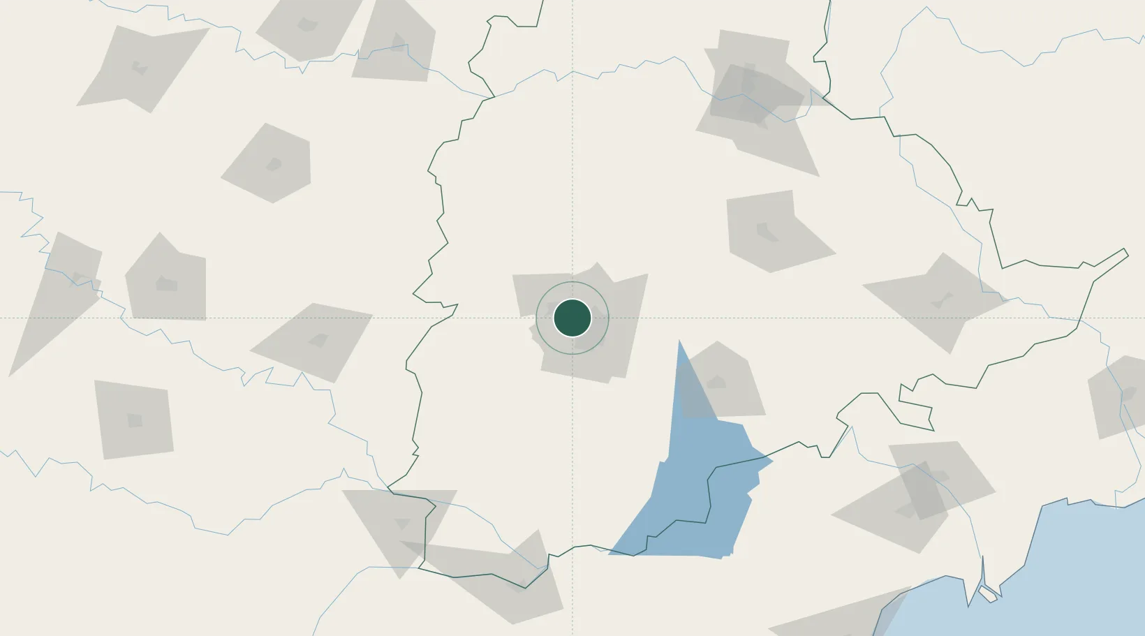
Nearby Logistics Neighbours

Cities
  1. 1APIICL-SEZ/Ranga Reddy15 km
  2. 2Hgsezl-SEZ/Ranga Reddy15 km
  3. 3Raidurg34 km
  4. 4CMTL ICD/Thimmapur37 km
  5. 5Igel Sez/Kodur-Settipali47 km
Nearest neighbours — logibook spatial index (haversine) over the source coordinates
Ports
  1. 1Kattupalli Port405 km
  2. 2Kakinada Bay421 km
  3. 3Kamarajar Port514 km
  4. 4Gangavaram516 km
  5. 5Vishakhapatnam521 km
Nearest neighbours — logibook spatial index (haversine) over the source coordinates
Airports
  1. 1Begumpet Airport9 km
  2. 2Dundigul Air Force Academy16 km
  3. 3Rajiv Gandhi International Airport28 km
  4. 4Bidar Airport / Bidar Air Force Station107 km
  5. 5Kalaburagi Airport152 km
Nearest neighbours — logibook spatial index (haversine) over the source coordinates
Trade Zones
  1. 1Tech Mahindra Limited (Satyam Computers), Madhapur4 km
  2. 2OMICS International5 km
  3. 3Hyderabad Specialized Zone (Gems) SEZ7 km
  4. 4Myron Realtors Private Limited7 km
  5. 5Dr. Reddys Laboratories Ltd8 km
Nearest neighbours — logibook spatial index (haversine) over the source coordinates
DatabookThe Record of Consolidated Knowledge
India beyond logistics?
Browse databook

All Sources

LocationsUN/LOCODE
UN/LOCODE — free
LocationsGeoNames
CC BY 4.0
Portsthe NGA World Port Index
Public domain (US gov)
AirportsOurAirports
Public domain
Trade Zonesthe World Bank SEZ database
CC BY 4.0
Trade ZonesOpen Zone Map
CC BY
← India locations