Seaport · India
GangavaramINGGV
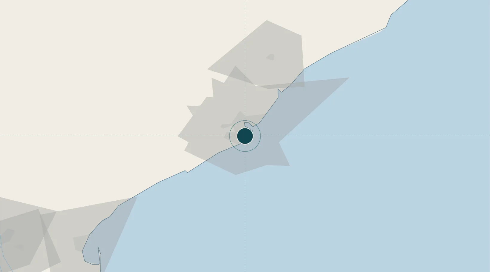
17.6333°, 83.2500°
19.5 m
Channel depth
1
Container terminals
24.3
Port liner connectivity
Channel & Berth Profile
Facilities & Capabilities
Container—
Ro-Ro—
Liquid bulk—
Dry bulk—
Oil terminal—
Break bulk—
Dry dock—
Repairs—
Bunkering—
Rail link—
Dangerous cargo—
ISPS security—
Harbour Specifications
Water body
Bay of Bengal; Indian Ocean
Liner Connectivity
24.3
PLSCI
Port Liner Shipping Connectivity Index for Gangavaram, as published by UNCTAD for the latest available quarter. Higher values indicate stronger scheduled liner-shipping integration.
Shown relative to the highest per-port PLSCI in the dataset (1,657.9).
Location
Container Terminals · 1
ADANI GANGAVARAM PORT CONTAINER TERMINAL
AGPCT ADANI GANGAVARAM PORT PVT. LTD.
Nearby Logistics Neighbours
Ports
- 1Vishakhapatnam8 km
- 2Kakinada Bay122 km
- 3Gopalpur259 km
- 4Paradip465 km
- 5Kattupalli Port503 km
Cities
Airports
- 1Visakhapatnam International Airport10 km
- 2Rajahmundry Airport163 km
- 3Jagdalpur Airport205 km
- 4Utkela Airport274 km
- 5Vijayawada International Airport287 km
DatabookThe Record of Consolidated Knowledge
India beyond logistics?