Specialized Zone · India

Lanco Hills Technology, Manikonda Active
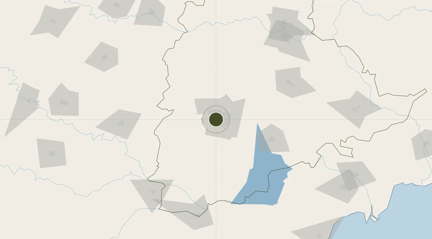
17.4093°, 78.3723°
12 ha
Zone area
398.6 km
Nearest port
11.2 km
Nearest airport

Gateway access

Nearest neighbours — logibook spatial index (haversine) over the source coordinates

Zone profile

Zone type
Specialized Zone
Open Zone Map
Specialization
Real Estate
Open Zone Map
Region
Telangana
Open Zone Map
Status
Active
Open Zone Map
Management
Private
Open Zone Map
Operator
Lanco Hills Private Rd
Open Zone Map
Legal framework
9/418/SEZ/HYD/2018 dated 26.11.2018
Open Zone Map

Location

Location of ozm-2308
Natural Earth 10m (public domain) · Telangana · ozm-2308 · 17.41, 78.37GoogleOSMYandex

Nearby Logistics Neighbours

Ports
  1. 1Kattupalli Port399 km
  2. 2Kakinada Bay421 km
  3. 3Kamarajar Port507 km
  4. 4Gangavaram518 km
  5. 5Chennai (Madras)522 km
Nearest neighbours — logibook spatial index (haversine) over the source coordinates
Airports
  1. 1Begumpet Airport11 km
  2. 2Rajiv Gandhi International Airport21 km
  3. 3Dundigul Air Force Academy25 km
  4. 4Bidar Airport / Bidar Air Force Station109 km
  5. 5Kalaburagi Airport150 km
Nearest neighbours — logibook spatial index (haversine) over the source coordinates
Cities
  1. 1Hyderabad8 km
  2. 2APIICL-SEZ/Ranga Reddy11 km
  3. 3Hgsezl-SEZ/Ranga Reddy11 km
  4. 4CMTL ICD/Thimmapur29 km
  5. 5Raidurg41 km
Nearest neighbours — logibook spatial index (haversine) over the source coordinates
Trade Zones
  1. 1DLF Commercial Developers Ltd, Gachibowli2 km
  2. 2OMICS International4 km
  3. 3Myron Realtors Private Limited4 km
  4. 4Tech Mahindra Limited (Satyam Computers), Madhapur5 km
  5. 5Hyderabad Specialized Zone (Gems) SEZ5 km
Nearest neighbours — logibook spatial index (haversine) over the source coordinates
DatabookThe Record of Consolidated Knowledge
India beyond logistics?
Browse databook

All Sources

Trade ZonesOpen Zone Map
CC BY
Portsthe NGA World Port Index
Public domain (US gov)
AirportsOurAirports
Public domain
LocationsUN/LOCODE
UN/LOCODE — free
← India trade zones