Specialized Zone · India

Tech Mahindra Limited (Satyam Computers), Madhapur Active
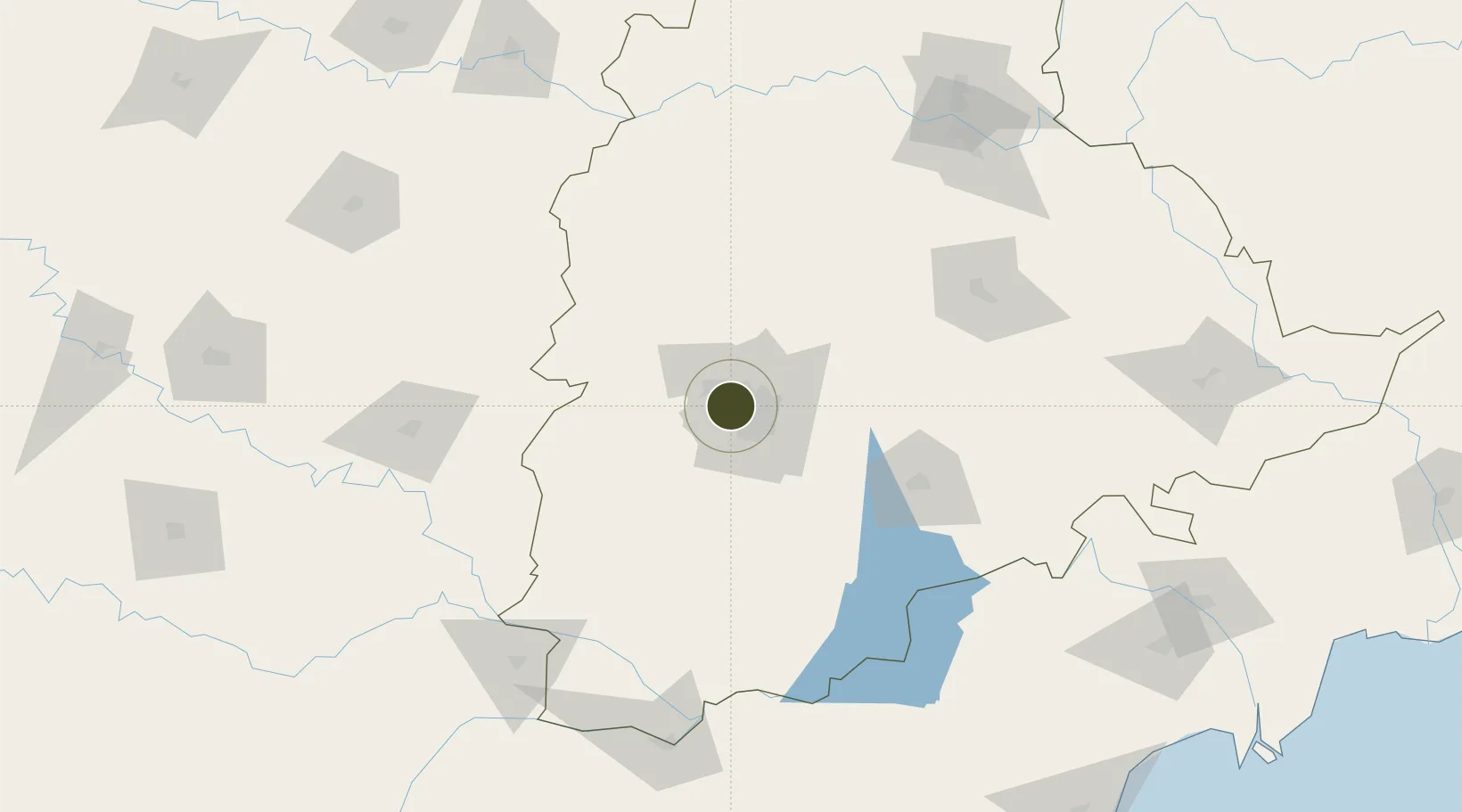
17.4532°, 78.3718°
10 ha
Zone area
402.9 km
Nearest port
10.2 km
Nearest airport

Gateway access

Nearest neighbours — logibook spatial index (haversine) over the source coordinates

Zone profile

Zone type
Specialized Zone
Open Zone Map
Specialization
IT
Open Zone Map
Region
Telangana
Open Zone Map
Status
Active
Open Zone Map
Management
Private
Open Zone Map
Operator
Tech Mahindra Limited
Open Zone Map
Legal framework
LoA 09/013/SEZ/HYD/2008 dated 05.02.2008
Open Zone Map

Location

Location of ozm-2199
Natural Earth 10m (public domain) · Telangana · ozm-2199 · 17.45, 78.37GoogleOSMYandex

Nearby Logistics Neighbours

Ports
  1. 1Kattupalli Port403 km
  2. 2Kakinada Bay422 km
  3. 3Kamarajar Port512 km
  4. 4Gangavaram518 km
  5. 5Vishakhapatnam523 km
Nearest neighbours — logibook spatial index (haversine) over the source coordinates
Airports
  1. 1Begumpet Airport10 km
  2. 2Dundigul Air Force Academy20 km
  3. 3Rajiv Gandhi International Airport25 km
  4. 4Bidar Airport / Bidar Air Force Station107 km
  5. 5Kalaburagi Airport150 km
Nearest neighbours — logibook spatial index (haversine) over the source coordinates
Cities
  1. 1Hyderabad4 km
  2. 2APIICL-SEZ/Ranga Reddy14 km
  3. 3Hgsezl-SEZ/Ranga Reddy14 km
  4. 4CMTL ICD/Thimmapur34 km
  5. 5Raidurg38 km
Nearest neighbours — logibook spatial index (haversine) over the source coordinates
Trade Zones
  1. 1OMICS International3 km
  2. 2Lanco Hills Technology, Manikonda5 km
  3. 3Hyderabad Specialized Zone (Gems) SEZ5 km
  4. 4Myron Realtors Private Limited5 km
  5. 5DLF Commercial Developers Ltd, Gachibowli6 km
Nearest neighbours — logibook spatial index (haversine) over the source coordinates
DatabookThe Record of Consolidated Knowledge
India beyond logistics?
Browse databook

All Sources

Trade ZonesOpen Zone Map
CC BY
Portsthe NGA World Port Index
Public domain (US gov)
AirportsOurAirports
Public domain
LocationsUN/LOCODE
UN/LOCODE — free
← India trade zones