Economic Revitalization Project · France
ZFU Cherbourg-Octeville Active
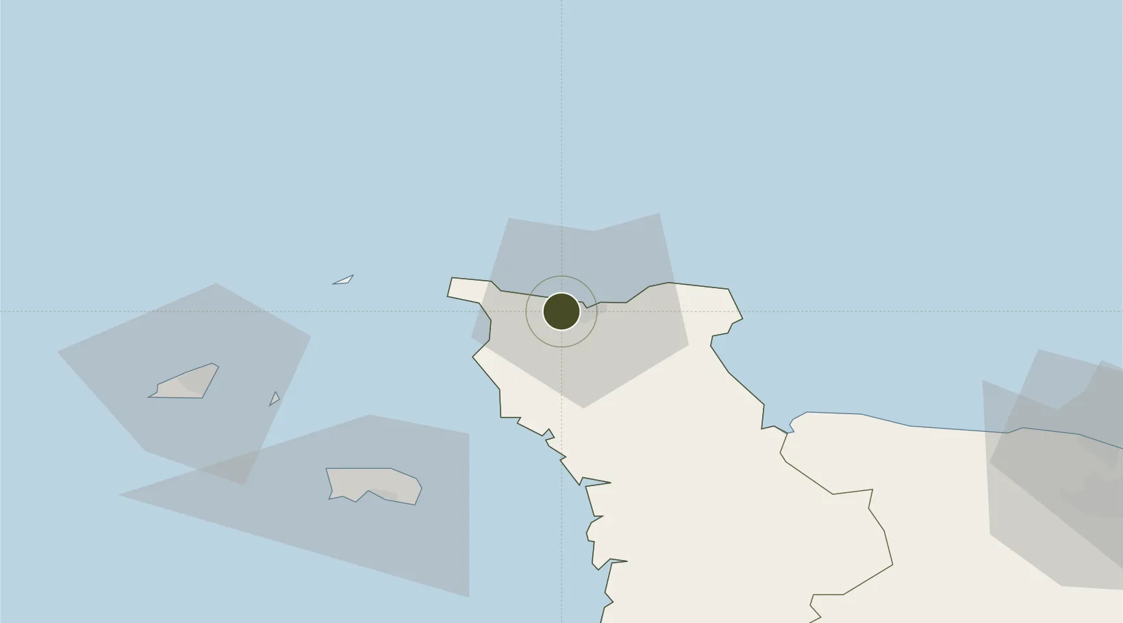
49.6415°, -1.6684°
144 ha
Zone area
2.7 km
Nearest port
14.3 km
Nearest airport
Gateway access
Zone profile
Zone type
Economic Revitalization Project
Region
Manche
Status
Active
Management
Public
Operator
Cherbourg-Octeville
Legal framework
Décret no 65-939 du 8 novembre 1965, Décret du 9 Octobre 2008
Location
Nearby Logistics Neighbours
Ports
- 1Rade De Cherbourg3 km
- 2Alderney Harbour40 km
- 3Saint Helier Harbour60 km
- 4Saint Sampson64 km
- 5Saint Peter Port66 km
Airports
- 1Cherbourg Manche airport14 km
- 2Alderney Airport40 km
- 3Jersey Airport62 km
- 4Guernsey Airport71 km
- 5Granville Airport85 km
Cities
- 1Querqueville4 km
- 2Cherbourg-en-Cotentin4 km
- 3Tourlaville7 km
- 4La Hague11 km
- 5Le Mesnil-au-Val11 km
Trade Zones
- 1ZFU La Guérinière, La Grâce de Dieu104 km
- 2ZFU Hérouville-Saint-Clair107 km
- 3Dorset Innovation Park123 km
- 4ZFU Le Havre130 km
- 5Solent Enterprise Zone140 km
DatabookThe Record of Consolidated Knowledge
France beyond logistics?