Economic Revitalization Project · France
ZFU Hérouville-Saint-Clair Active
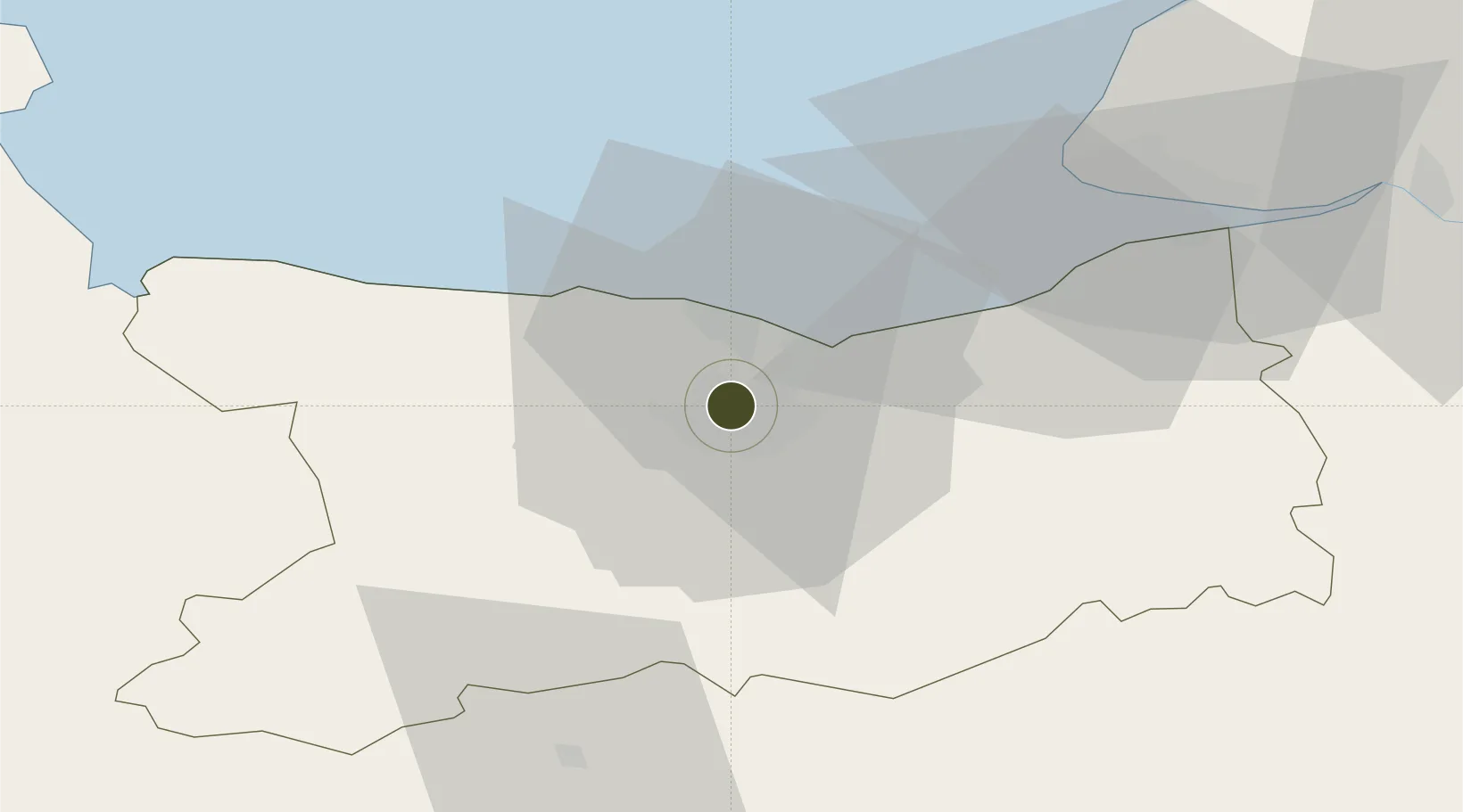
49.2042°, -0.3499°
76 ha
Zone area
2.3 km
Nearest port
8.2 km
Nearest airport
Gateway access
Zone profile
Zone type
Economic Revitalization Project
Region
Calvados
Status
Active
Management
Public
Operator
Hérouville-Saint-Clair
Legal framework
Décret no 65-939 du 8 novembre 1965, Décret du 9 Octobre 2008
Location
Nearby Logistics Neighbours
Ports
- 1Port De Caen2 km
- 2Ouistreham11 km
- 3Deauville36 km
- 4Port Of Le Havre46 km
- 5Honfleur47 km
Airports
- 1Caen Carpiquet airport8 km
- 2Deauville Normandie airport41 km
- 3Le Havre-Octeville Airport49 km
- 4Cherbourg Manche airport95 km
- 5Granville Airport95 km
Cities
- 1Caen3 km
- 2Cormelles-le-Royal6 km
- 3Ifs8 km
- 4Ranville8 km
- 5Cagny9 km
Trade Zones
- 1ZFU La Guérinière, La Grâce de Dieu5 km
- 2ZFU Le Havre48 km
- 3ZFU Alençon92 km
- 4ZFU Cherbourg-Octeville107 km
- 5ZFU Rouen Bihorel109 km
DatabookThe Record of Consolidated Knowledge
France beyond logistics?