Economic Revitalization Project · France
ZFU La Guérinière, La Grâce de Dieu Active
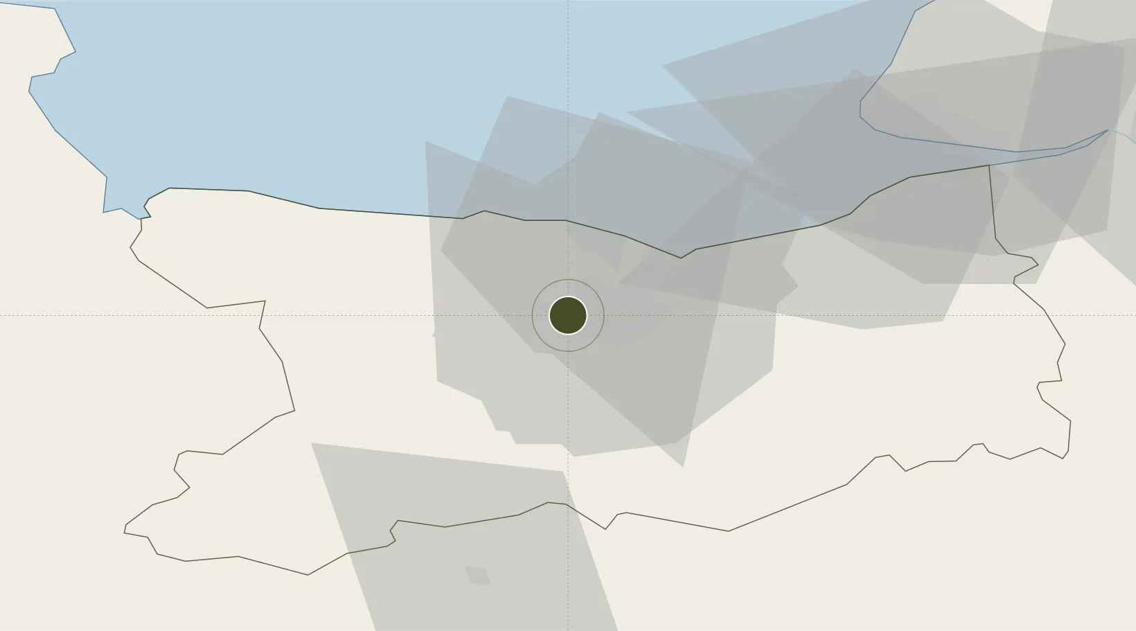
49.1846°, -0.4074°
120 ha
Zone area
4.2 km
Nearest port
3.6 km
Nearest airport
Gateway access
Zone profile
Zone type
Economic Revitalization Project
Region
Calvados
Status
Active
Management
Public
Operator
Ville de Caen
Legal framework
Décret no 65-939 du 8 novembre 1965, Décret du 9 Octobre 2008
Location
Nearby Logistics Neighbours
Ports
- 1Port De Caen4 km
- 2Ouistreham16 km
- 3Deauville41 km
- 4Port Of Le Havre50 km
- 5Honfleur52 km
Airports
- 1Caen Carpiquet airport4 km
- 2Deauville Normandie airport45 km
- 3Le Havre-Octeville Airport53 km
- 4Granville Airport91 km
- 5Cherbourg Manche airport93 km
Cities
- 1Caen3 km
- 2Cormelles-le-Royal7 km
- 3Mouen7 km
- 4Ifs7 km
- 5Fontaine-Henry11 km
Trade Zones
- 1ZFU Hérouville-Saint-Clair5 km
- 2ZFU Le Havre52 km
- 3ZFU Alençon91 km
- 4ZFU Cherbourg-Octeville104 km
- 5ZFU Rouen Bihorel113 km
DatabookThe Record of Consolidated Knowledge
France beyond logistics?