Seaport · Jersey
Saint Helier HarbourJESTH
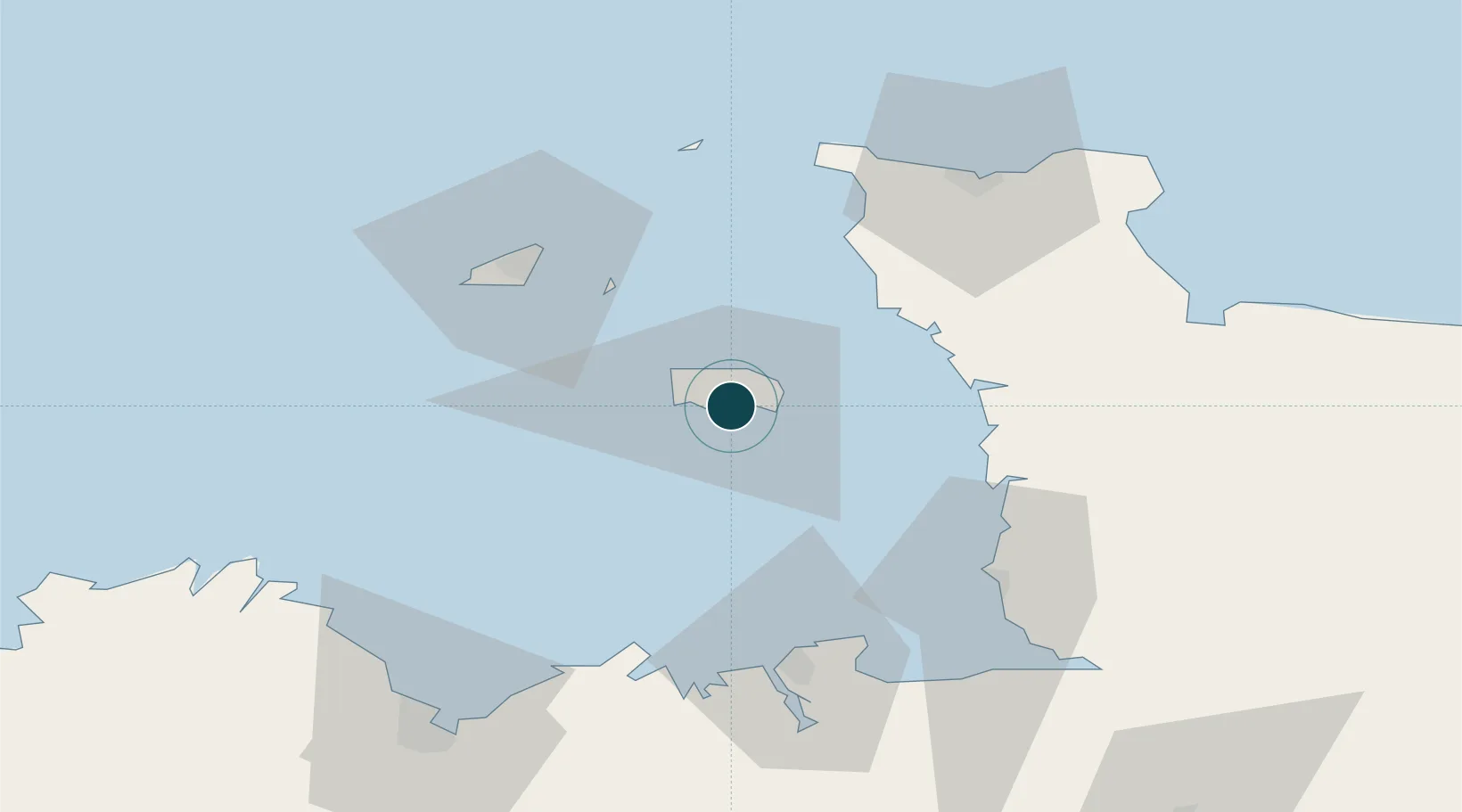
49.1833°, -2.1167°
1.8 m
Channel depth
11.1
Port liner connectivity
Channel & Berth Profile
Pilotage, Tugs & Services
Pilotage compulsoryYES
Pilotage availableYES
Pilotage advisableYES
Local assistanceYES
Tug assistanceYES
Potable waterYES
Diesel bunkersYES
MedicalYES
Garbage disposalYES
Facilities & Capabilities
Container—
Ro-Ro—
Liquid bulk—
Dry bulk—
Oil terminal—
Break bulk—
Dry dock—
RepairsNO
BunkeringYES
Rail link—
Dangerous cargo—
ISPS security—
Harbour Specifications
Harbour size
Small
Harbour type
Coastal (Breakwater)
Shelter
Fair
Water body
English Channel; North Atlantic Ocean
Tidal range
12 m
Overhead limit
No
Pilotage
Yes
Liner Connectivity
11.1
PLSCI
Port Liner Shipping Connectivity Index for Saint Helier Harbour, as published by UNCTAD for the latest available quarter. Higher values indicate stronger scheduled liner-shipping integration.
Shown relative to the highest per-port PLSCI in the dataset (1,657.9).
Location
Nearby Logistics Neighbours
Ports
- 1Saint Peter Port42 km
- 2Saint Sampson44 km
- 3Granville54 km
- 4Saint-Malo60 km
- 5Alderney Harbour62 km
Cities
- 1Saint Helier1 km
- 2Saint Aubin4 km
- 3Saint Saviour4 km
- 4Saint Clement4 km
- 5Saint Brelade6 km
Airports
- 1Jersey Airport6 km
- 2Guernsey Airport45 km
- 3Granville Airport52 km
- 4Alderney Airport59 km
- 5Dinard Pleurtuit Saint-Malo airport66 km
Trade Zones
DatabookThe Record of Consolidated Knowledge
Jersey beyond logistics?