UN/LOCODE hub · France
FRTOV

Tourlaville

49.6333°, -1.5667°
18,273
Population
2
Transport functions

Transport Functions

Port
Road
UN/LOCODE

Hub Profile

Place type
Populated place
GeoNames
Region
Normandy
GeoNames
Population
18,273
GeoNames
Time zone
Europe/Paris
GeoNames
Elevation
27 m
GeoNames

Location

Location of FRTOV
Natural Earth 10m (public domain) · Normandy · FRTOV · 49.63, -1.57GoogleOSMYandex

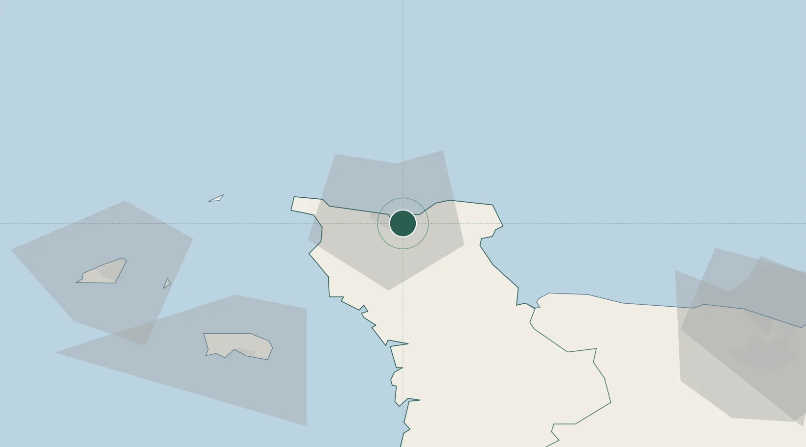
Nearby Logistics Neighbours

Cities
  1. 1Cherbourg-en-Cotentin4 km
  2. 2Le Mesnil-au-Val4 km
  3. 3Gonneville7 km
  4. 4Fermanville10 km
  5. 5Querqueville10 km
Nearest neighbours — logibook spatial index (haversine) over the source coordinates
Ports
  1. 1Rade De Cherbourg5 km
  2. 2Alderney Harbour47 km
  3. 3Saint Helier Harbour64 km
  4. 4Saint Sampson71 km
  5. 5Saint Peter Port73 km
Nearest neighbours — logibook spatial index (haversine) over the source coordinates
Airports
  1. 1Cherbourg Manche airport7 km
  2. 2Alderney Airport47 km
  3. 3Jersey Airport66 km
  4. 4Guernsey Airport78 km
  5. 5Granville Airport83 km
Nearest neighbours — logibook spatial index (haversine) over the source coordinates
Trade Zones
  1. 1ZFU Cherbourg-Octeville7 km
  2. 2ZFU La Guérinière, La Grâce de Dieu98 km
  3. 3ZFU Hérouville-Saint-Clair100 km
  4. 4ZFU Le Havre123 km
  5. 5Dorset Innovation Park127 km
Nearest neighbours — logibook spatial index (haversine) over the source coordinates
DatabookThe Record of Consolidated Knowledge
France beyond logistics?
Browse databook

All Sources

LocationsUN/LOCODE
UN/LOCODE — free
LocationsGeoNames
CC BY 4.0
Portsthe NGA World Port Index
Public domain (US gov)
AirportsOurAirports
Public domain
Trade Zonesthe World Bank SEZ database
CC BY 4.0
Trade ZonesOpen Zone Map
CC BY
← France locations