Economic Revitalization Project · France
ZFU Le Havre Active
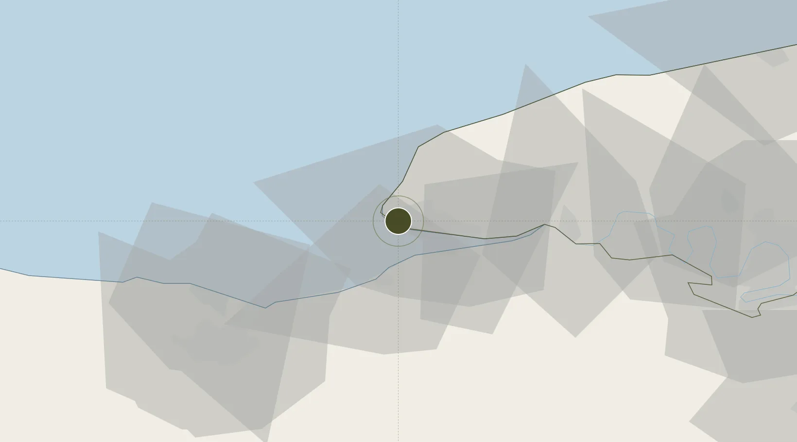
49.5023°, 0.1200°
202 ha
Zone area
2.1 km
Nearest port
4.2 km
Nearest airport
Gateway access
Zone profile
Zone type
Economic Revitalization Project
Region
Seine-Maritime
Status
Active
Management
Public
Operator
Le Havre
Legal framework
Décret no 65-939 du 8 novembre 1965, Décret du 9 Octobre 2008
Location
Nearby Logistics Neighbours
Ports
- 1Port Of Le Havre2 km
- 2Honfleur12 km
- 3Deauville15 km
- 4Fecamp34 km
- 5Ouistreham36 km
Airports
Cities
- 1Harfleur6 km
- 2Le Havre7 km
- 3Gonfreville-l'Orcher9 km
- 4Rolleville11 km
- 5Villerville11 km
Trade Zones
- 1ZFU Hérouville-Saint-Clair48 km
- 2ZFU La Guérinière, La Grâce de Dieu52 km
- 3ZFU Rouen Bihorel71 km
- 4ZFU Évreux92 km
- 5ZFU Alençon119 km
DatabookThe Record of Consolidated Knowledge
France beyond logistics?