Transport Functions
Port
Rail
Airport
Hub Profile
Region
50
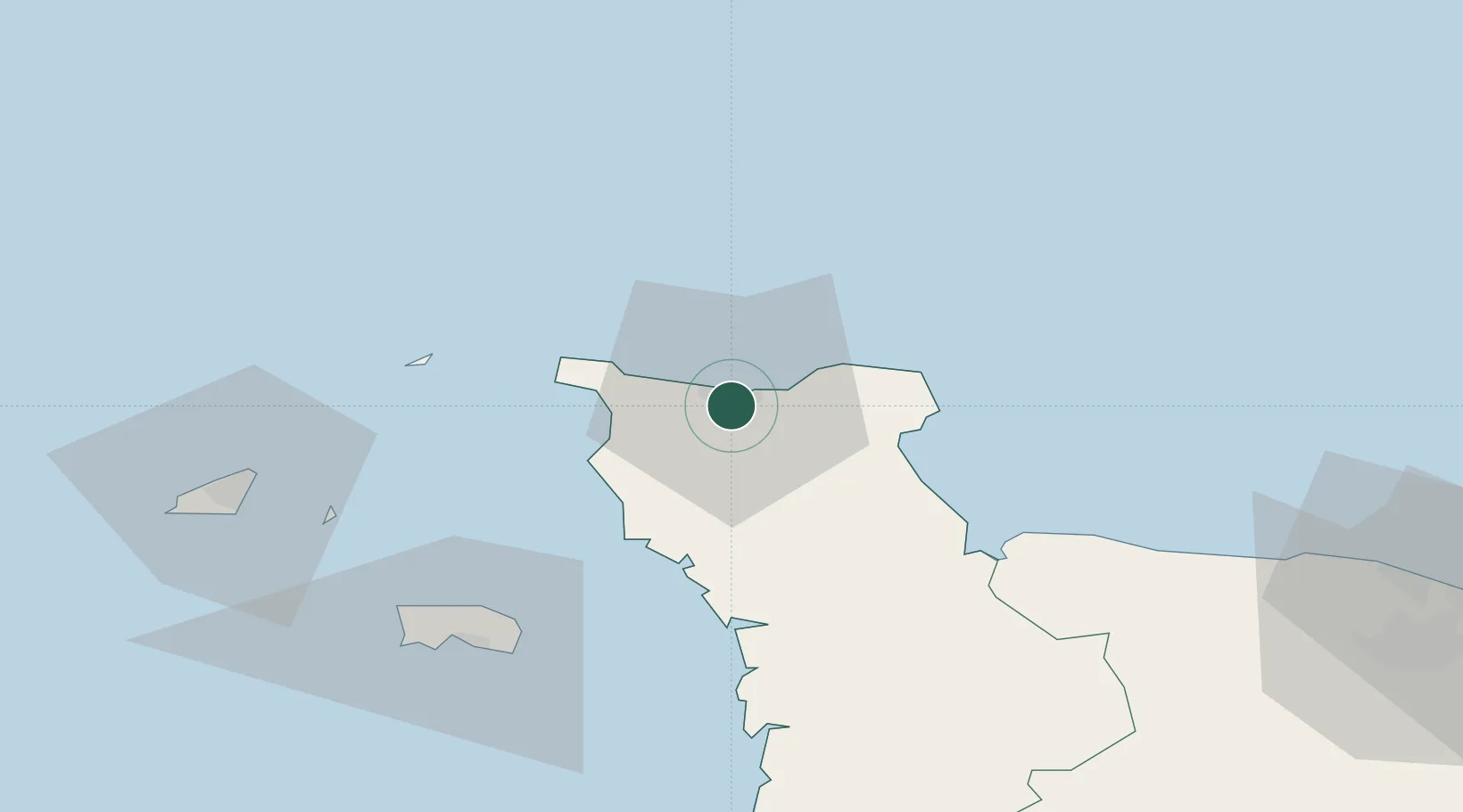
Location
Nearby Logistics Neighbours
Cities
- 1Tourlaville4 km
- 2Querqueville7 km
- 3Le Mesnil-au-Val7 km
- 4Gonneville11 km
- 5Fermanville13 km
Ports
- 1Alderney Harbour43 km
- 2Saint Helier Harbour62 km
- 3Saint Sampson67 km
- 4Saint Peter Port69 km
- 5Granville89 km
Airports
- 1Cherbourg Manche airport11 km
- 2Alderney Airport44 km
- 3Jersey Airport63 km
- 4Guernsey Airport74 km
- 5Granville Airport84 km
Trade Zones
- 1ZFU Cherbourg-Octeville4 km
- 2ZFU La Guérinière, La Grâce de Dieu101 km
- 3ZFU Hérouville-Saint-Clair103 km
- 4Dorset Innovation Park125 km
- 5ZFU Le Havre126 km
DatabookThe Record of Consolidated Knowledge
France beyond logistics?