UN/LOCODE hub · France
FRMIU

Le Mesnil-au-Val

49.6000°, -1.5333°
564
Population
3
Transport functions

Transport Functions

Rail
Road
Multimodal
UN/LOCODE

Hub Profile

Place type
Populated place
GeoNames
Region
Normandy
GeoNames
Population
564
GeoNames
Time zone
Europe/Paris
GeoNames
Elevation
109 m
GeoNames

Location

Location of FRMIU
Natural Earth 10m (public domain) · Normandy · FRMIU · 49.60, -1.53GoogleOSMYandex

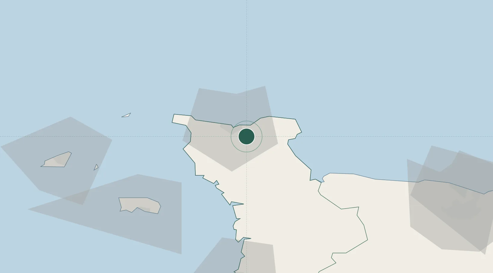
Nearby Logistics Neighbours

Cities
  1. 1Tourlaville4 km
  2. 2Gonneville6 km
  3. 3Cherbourg-en-Cotentin7 km
  4. 4Fermanville11 km
  5. 5Huberville13 km
Nearest neighbours — logibook spatial index (haversine) over the source coordinates
Ports
  1. 1Rade De Cherbourg9 km
  2. 2Alderney Harbour50 km
  3. 3Saint Helier Harbour63 km
  4. 4Saint Sampson72 km
  5. 5Saint Peter Port74 km
Nearest neighbours — logibook spatial index (haversine) over the source coordinates
Airports
  1. 1Cherbourg Manche airport7 km
  2. 2Alderney Airport51 km
  3. 3Jersey Airport65 km
  4. 4Guernsey Airport79 km
  5. 5Granville Airport80 km
Nearest neighbours — logibook spatial index (haversine) over the source coordinates
Trade Zones
  1. 1ZFU Cherbourg-Octeville11 km
  2. 2ZFU La Guérinière, La Grâce de Dieu94 km
  3. 3ZFU Hérouville-Saint-Clair96 km
  4. 4ZFU Le Havre120 km
  5. 5Dorset Innovation Park131 km
Nearest neighbours — logibook spatial index (haversine) over the source coordinates
DatabookThe Record of Consolidated Knowledge
France beyond logistics?
Browse databook

All Sources

LocationsUN/LOCODE
UN/LOCODE — free
LocationsGeoNames
CC BY 4.0
Portsthe NGA World Port Index
Public domain (US gov)
AirportsOurAirports
Public domain
Trade Zonesthe World Bank SEZ database
CC BY 4.0
Trade ZonesOpen Zone Map
CC BY
← France locations