Transport Functions
Port
Road
Hub Profile
Region
50
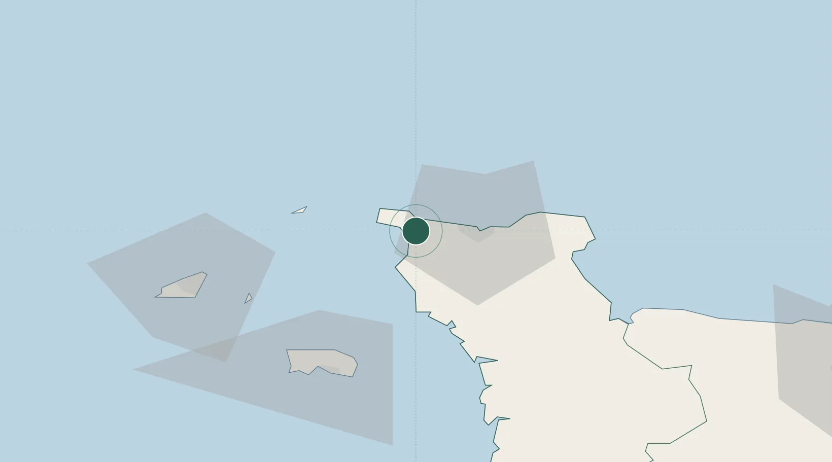
Location
Nearby Logistics Neighbours
Cities
- 1Querqueville9 km
- 2Cherbourg-en-Cotentin15 km
- 3Les Pieux15 km
- 4Tourlaville18 km
- 5Le Mesnil-au-Val21 km
Ports
- 1Rade De Cherbourg13 km
- 2Alderney Harbour29 km
- 3Saint Sampson54 km
- 4Saint Helier Harbour56 km
- 5Saint Peter Port56 km
Airports
- 1Cherbourg Manche airport25 km
- 2Alderney Airport29 km
- 3Jersey Airport56 km
- 4Guernsey Airport62 km
- 5Granville Airport87 km
Trade Zones
- 1ZFU Cherbourg-Octeville11 km
- 2ZFU La Guérinière, La Grâce de Dieu114 km
- 3ZFU Hérouville-Saint-Clair117 km
- 4Dorset Innovation Park119 km
- 5ZFU Le Havre141 km
DatabookThe Record of Consolidated Knowledge
France beyond logistics?