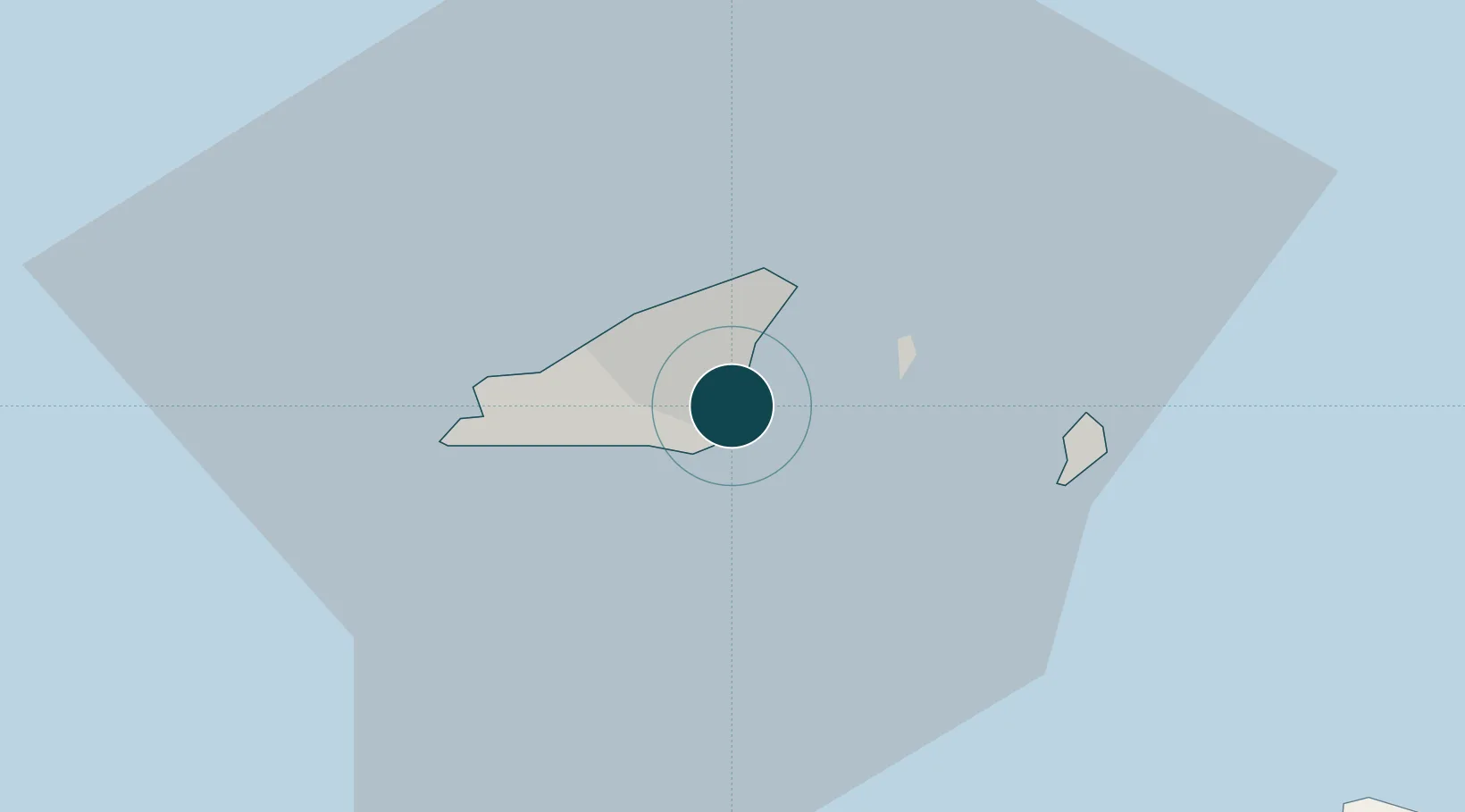
Seaport · Guernsey
Saint Peter PortGGSPT
49.4500°, -2.5333°
3.4 m
Channel depth
11.1
Port liner connectivity
Channel & Berth Profile
Pilotage, Tugs & Services
Pilotage compulsoryYES
Pilotage availableYES
Potable waterYES
Diesel bunkersYES
MedicalYES
Facilities & Capabilities
Container—
Ro-Ro—
Liquid bulk—
Dry bulk—
Oil terminal—
Break bulk—
Dry dock—
RepairsNO
BunkeringYES
Rail link—
Dangerous cargo—
ISPS security—
Harbour Specifications
Harbour size
Small
Harbour type
Coastal (Breakwater)
Shelter
Fair
Water body
English Channel; North Atlantic Ocean
Tidal range
8 m
Pilotage
Yes
Liner Connectivity
11.1
PLSCI
Port Liner Shipping Connectivity Index for Saint Peter Port, as published by UNCTAD for the latest available quarter. Higher values indicate stronger scheduled liner-shipping integration.
Shown relative to the highest per-port PLSCI in the dataset (1,657.9).
Location
Nearby Logistics Neighbours
Ports
- 1Saint Sampson4 km
- 2Alderney Harbour40 km
- 3Saint Helier Harbour42 km
- 4Rade De Cherbourg69 km
- 5Paimpol83 km
Cities
- 1Saint Peter Port0 km
- 2Guernsey4 km
- 3Sark12 km
- 4Alderney35 km
- 5Saint Ouen35 km
Airports
- 1Guernsey Airport5 km
- 2Jersey Airport36 km
- 3Alderney Airport37 km
- 4Cherbourg Manche airport80 km
- 5Granville Airport95 km
Trade Zones
DatabookThe Record of Consolidated Knowledge
Guernsey beyond logistics?