Economic Revitalization Project · United Kingdom

Solent Enterprise Zone Active
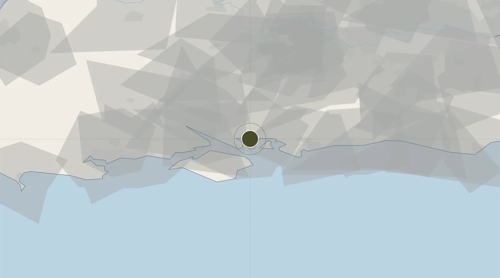
50.8408°, -1.0797°
82 ha
Zone area
4.8 km
Nearest port
22.9 km
Nearest airport

Gateway access

Nearest neighbours — logibook spatial index (haversine) over the source coordinates

Zone profile

Zone type
Economic Revitalization Project
Open Zone Map
Region
Portsmouth
Open Zone Map
Status
Active
Open Zone Map
Management
Public-Private Partnership
Open Zone Map
Operator
Solent Local Enterprise Partnership
Open Zone Map
Legal framework
Local Government, Planning and Land Act 1980
Open Zone Map

Location

Location of ozm-4685
Natural Earth 10m (public domain) · Portsmouth · ozm-4685 · 50.84, -1.08GoogleOSMYandex

Nearby Logistics Neighbours

Ports
  1. 1Portsmouth Harbour5 km
  2. 2Cowes Harbour18 km
  3. 3Fawley Marine Terminal18 km
  4. 4Southampton23 km
  5. 5Yarmouth Harbour33 km
Nearest neighbours — logibook spatial index (haversine) over the source coordinates
Airports
  1. 1Southampton Airport23 km
  2. 2Lasham Airfield39 km
  3. 3RAF Odiham45 km
  4. 4Farnborough Airport53 km
  5. 5Bournemouth Airport54 km
Nearest neighbours — logibook spatial index (haversine) over the source coordinates
Cities
  1. 1Portsmouth4 km
  2. 2Bedhampton6 km
  3. 3Southsea7 km
  4. 4Hayling Island7 km
  5. 5Langstone7 km
Nearest neighbours — logibook spatial index (haversine) over the source coordinates
Trade Zones
  1. 1Southampton Free Zone26 km
  2. 2EZ³ Enterprise Zone35 km
  3. 3Thames Valley Business Growth Hub Berkshire68 km
  4. 4Dorset Innovation Park85 km
  5. 5Science Vale Oxfordshire Enterprise Zone90 km
Nearest neighbours — logibook spatial index (haversine) over the source coordinates
DatabookThe Record of Consolidated Knowledge
United Kingdom beyond logistics?
Browse databook

All Sources

Trade ZonesOpen Zone Map
CC BY
Portsthe NGA World Port Index
Public domain (US gov)
AirportsOurAirports
Public domain
LocationsUN/LOCODE
UN/LOCODE — free
← United Kingdom trade zones