Economic Revitalization Project · United Kingdom

Dorset Innovation Park Active
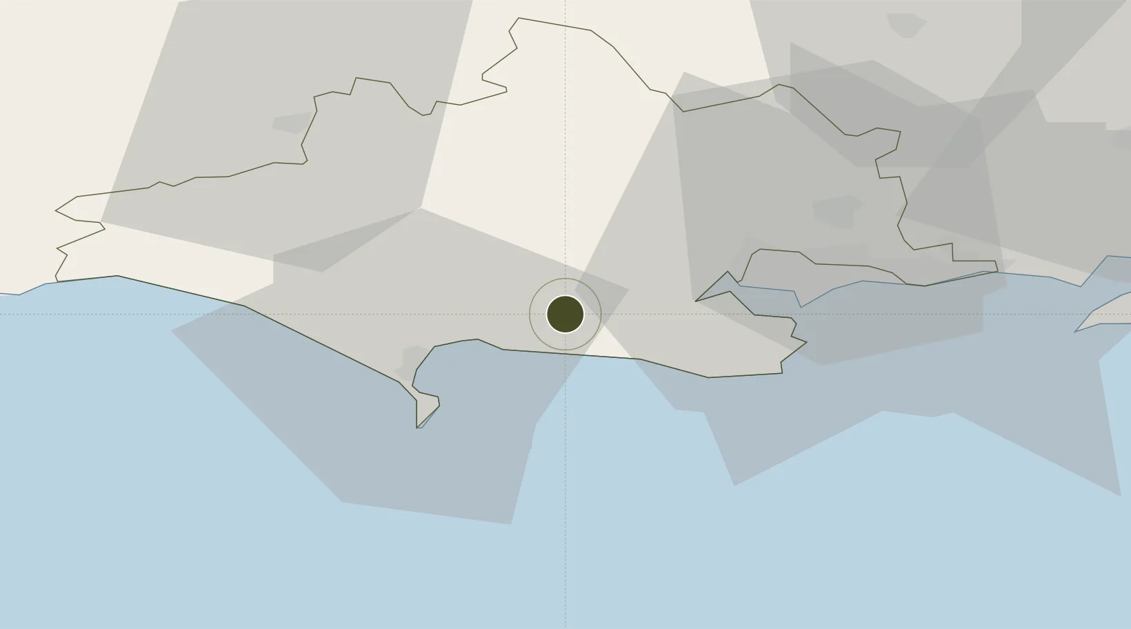
50.6819°, -2.2587°
56 ha
Zone area
15.3 km
Nearest port
31.5 km
Nearest airport

Gateway access

Nearest neighbours — logibook spatial index (haversine) over the source coordinates

Zone profile

Zone type
Economic Revitalization Project
Open Zone Map
Region
Dorset
Open Zone Map
Status
Active
Open Zone Map
Management
Public-Private Partnership
Open Zone Map
Operator
Dorset Local Enterprise Partnership
Open Zone Map
Legal framework
Local Government, Planning and Land Act 1980
Open Zone Map

Location

Location of ozm-4680
Natural Earth 10m (public domain) · Dorset · ozm-4680 · 50.68, -2.26GoogleOSMYandex

Nearby Logistics Neighbours

Ports
  1. 1Weymouth Harbour15 km
  2. 2Portland Harbour17 km
  3. 3Poole Harbour22 km
  4. 4Bridport Harbour36 km
  5. 5Yarmouth Harbour54 km
Nearest neighbours — logibook spatial index (haversine) over the source coordinates
Airports
  1. 1Bournemouth Airport32 km
  2. 2RNAS Yeovilton45 km
  3. 3MoD Boscombe Down63 km
  4. 4Southampton Airport70 km
  5. 5Exeter International Airport82 km
Nearest neighbours — logibook spatial index (haversine) over the source coordinates
Cities
  1. 1Lulworth Cove3 km
  2. 2Lulworth Camp6 km
  3. 3Broadmayne9 km
  4. 4Whitcombe10 km
  5. 5Wareham10 km
Nearest neighbours — logibook spatial index (haversine) over the source coordinates
Trade Zones
  1. 1Southampton Free Zone63 km
  2. 2EZ³ Enterprise Zone81 km
  3. 3Exeter & East Devon Enterprise Zone85 km
  4. 4Solent Enterprise Zone85 km
  5. 5Bristol Temple Quarter Enterprise Zone88 km
Nearest neighbours — logibook spatial index (haversine) over the source coordinates
DatabookThe Record of Consolidated Knowledge
United Kingdom beyond logistics?
Browse databook

All Sources

Trade ZonesOpen Zone Map
CC BY
Portsthe NGA World Port Index
Public domain (US gov)
AirportsOurAirports
Public domain
LocationsUN/LOCODE
UN/LOCODE — free
← United Kingdom trade zones