Medium airport · France
Cherbourg Manche airportLFRC
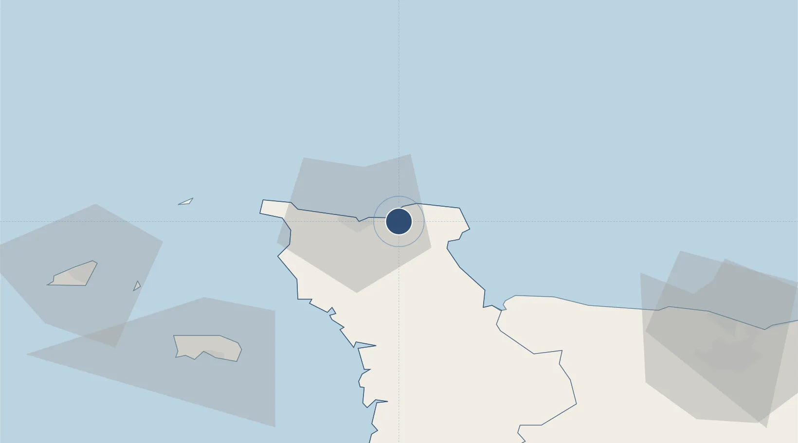
49.6501°, -1.4703°
8,005 ft
Longest runway
1
Runways
459 ft
Elevation
Runway & Layout

Radio Frequencies
TWR
119.625 MHz
CHERBOURG TWR
APP
119.35 MHz
DEAUVILLE APP
Runways · 1
| Runway | Dimensions | Surface | True heading | Lit |
|---|---|---|---|---|
| 10/28 | 8,005 × 148ft | Asphalt | 101° | ✓ |
Airport Specifications
IATA code
CER
ICAO code
LFRC
Airport class
Medium airport
Scheduled service
No
Runway surface
Asphalt
Served city
Cherbourg
Location
Nearby Logistics Neighbours
Airports
- 1Alderney Airport54 km
- 2Jersey Airport72 km
- 3Guernsey Airport85 km
- 4Granville Airport86 km
- 5Caen Carpiquet airport90 km
Cities
- 1Gonneville2 km
- 2Fermanville4 km
- 3Tourlaville7 km
- 4Le Mesnil-au-Val7 km
- 5Cherbourg-en-Cotentin11 km
Ports
- 1Rade De Cherbourg12 km
- 2Alderney Harbour53 km
- 3Saint Helier Harbour70 km
- 4Saint Sampson78 km
- 5Saint Peter Port80 km
Trade Zones
- 1ZFU Cherbourg-Octeville14 km
- 2ZFU La Guérinière, La Grâce de Dieu93 km
- 3ZFU Hérouville-Saint-Clair95 km
- 4ZFU Le Havre116 km
- 5Dorset Innovation Park128 km
DatabookThe Record of Consolidated Knowledge
France beyond logistics?