Channel & Berth Profile
Pilotage, Tugs & Services
Pilotage compulsoryYES
Pilotage availableYES
Local assistanceYES
Facilities & Capabilities
Container—
Ro-Ro—
Liquid bulk—
Dry bulk—
Oil terminal—
Break bulk—
Dry dock—
RepairsNO
Bunkering—
Rail link—
Dangerous cargo—
ISPS security—
Harbour Specifications
Harbour size
Very Small
Harbour type
Coastal (Breakwater)
Shelter
Fair
Water body
English Channel; North Atlantic Ocean
Tidal range
6 m
Pilotage
Yes
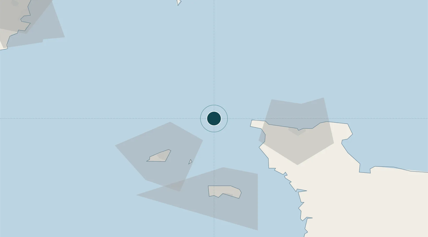
Location
Nearby Logistics Neighbours
Ports
- 1Saint Sampson36 km
- 2Saint Peter Port40 km
- 3Rade De Cherbourg42 km
- 4Saint Helier Harbour62 km
- 5Portland Harbour96 km
Cities
- 1La Hague29 km
- 2Sark36 km
- 3Querqueville37 km
- 4Les Pieux38 km
- 5Saint Peter Port40 km
Airports
- 1Alderney Airport3 km
- 2Guernsey Airport44 km
- 3Cherbourg Manche airport53 km
- 4Jersey Airport58 km
- 5Granville Airport105 km
Trade Zones
- 1ZFU Cherbourg-Octeville40 km
- 2Dorset Innovation Park106 km
- 3Southampton Free Zone142 km
- 4Exeter & East Devon Enterprise Zone143 km
- 5ZFU La Guérinière, La Grâce de Dieu143 km
DatabookThe Record of Consolidated Knowledge
Guernsey beyond logistics?