Seaport · France
Rade De CherbourgFRCER
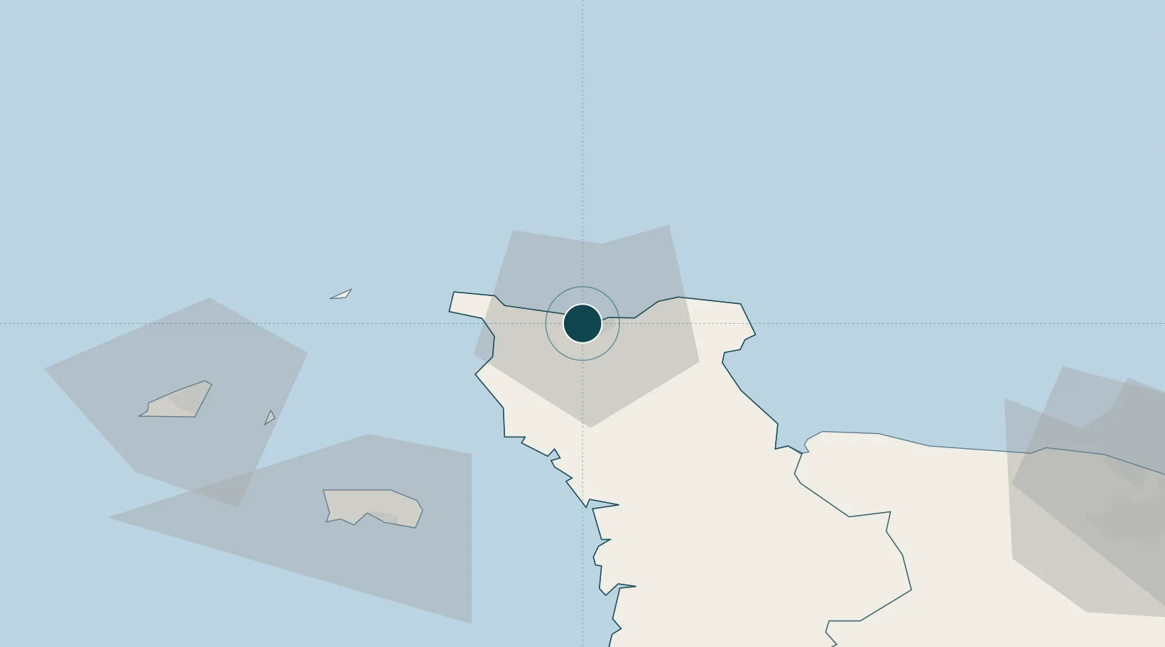
49.6500°, -1.6333°
9.4 m
Channel depth
9.3
Port liner connectivity
Channel & Berth Profile
Pilotage, Tugs & Services
Pilotage compulsoryYES
Pilotage advisableYES
Tug assistanceYES
Potable waterYES
Diesel bunkersYES
MedicalYES
Garbage disposalYES
Facilities & Capabilities
Container—
Ro-Ro—
Liquid bulk—
Dry bulk—
Oil terminal—
Break bulk—
Dry dockNO
RepairsNO
BunkeringYES
Rail linkYES
Dangerous cargo—
ISPS security—
Harbour Specifications
Harbour size
Large
Harbour type
Coastal (Tide Gates)
Shelter
Good
Water body
English Channel; North Atlantic Ocean
Tidal range
5 m
Overhead limit
Yes
Pilotage
Yes
Liner Connectivity
9.3
PLSCI
Port Liner Shipping Connectivity Index for Rade De Cherbourg, as published by UNCTAD for the latest available quarter. Higher values indicate stronger scheduled liner-shipping integration.
Shown relative to the highest per-port PLSCI in the dataset (1,657.9).
Location
Nearby Logistics Neighbours
Ports
- 1Alderney Harbour42 km
- 2Saint Helier Harbour63 km
- 3Saint Sampson66 km
- 4Saint Peter Port69 km
- 5Granville91 km
Cities
- 1Querqueville5 km
- 2Tourlaville5 km
- 3Le Mesnil-au-Val9 km
- 4Gonneville12 km
- 5La Hague13 km
Airports
- 1Cherbourg Manche airport12 km
- 2Alderney Airport42 km
- 3Jersey Airport64 km
- 4Guernsey Airport74 km
- 5Granville Airport85 km
Trade Zones
- 1ZFU Cherbourg-Octeville3 km
- 2ZFU La Guérinière, La Grâce de Dieu103 km
- 3ZFU Hérouville-Saint-Clair105 km
- 4Dorset Innovation Park123 km
- 5ZFU Le Havre128 km
DatabookThe Record of Consolidated Knowledge
France beyond logistics?