Medium airport · Guernsey

Guernsey AirportEGJB
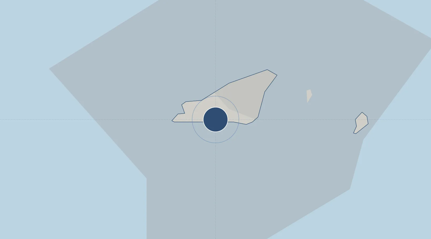
49.4350°, -2.6020°
5,194 ft
Longest runway
1
Runways
336 ft
Elevation

Runway & Layout

Guernsey Airport runway & taxiway layout
Runway & taxiway layout — OpenStreetMap (ODbL) / OurAirports

Radio Frequencies

ATIS
109.4 MHz
TWR
119.95 MHz
GND
121.8 MHz
APP
128.65 MHz
OurAirports

Navaids

GRB NDB Guernsey 361 kHz
GUR VOR-DME Guernsey 109.40 MHz
GUY NDB Guernsey 361 kHz
OurAirports

Runways · 1

RunwayDimensions SurfaceTrue headingLit
09/27 5,194 × 148ft Asphalt 088°
OurAirports

Airport Specifications

IATA code
GCI
OurAirports
ICAO code
EGJB
OurAirports
Airport class
Medium airport
OurAirports
Scheduled service
Yes
OurAirports
Runway surface
Asphalt
OurAirports
Served city
Saint Peter Port
OurAirports

Location

Location of EGJB
Natural Earth 10m (public domain) · Sark · EGJB · 49.44, -2.60GoogleOSMYandex

Nearby Logistics Neighbours

Airports
  1. 1Jersey Airport39 km
  2. 2Alderney Airport41 km
  3. 3Cherbourg Manche airport85 km
  4. 4Granville Airport97 km
  5. 5Lannion Airport99 km
Nearest neighbours — logibook spatial index (haversine) over the source coordinates
Cities
  1. 1Guernsey1 km
  2. 2Saint Peter Port4 km
  3. 3Saint Peter Port5 km
  4. 4Sark17 km
  5. 5Saint Ouen38 km
Nearest neighbours — logibook spatial index (haversine) over the source coordinates
Ports
  1. 1Saint Peter Port5 km
  2. 2Saint Sampson8 km
  3. 3Alderney Harbour44 km
  4. 4Saint Helier Harbour45 km
  5. 5Rade De Cherbourg74 km
Nearest neighbours — logibook spatial index (haversine) over the source coordinates
Trade Zones
  1. 1ZFU Cherbourg-Octeville71 km
  2. 2Dorset Innovation Park141 km
  3. 3Heart of the South West Enterprise Zone151 km
  4. 4Oceansgate Plymouth154 km
  5. 5Exeter & East Devon Enterprise Zone157 km
Nearest neighbours — logibook spatial index (haversine) over the source coordinates
DatabookThe Record of Consolidated Knowledge
Guernsey beyond logistics?
Browse databook

All Sources

AirportsOurAirports
Public domain
Portsthe NGA World Port Index
Public domain (US gov)
LocationsUN/LOCODE
UN/LOCODE — free
Trade Zonesthe World Bank SEZ database
CC BY 4.0
Trade ZonesOpen Zone Map
CC BY
InfrastructureOpenStreetMap
ODbL 1.0
← Guernsey airports