Channel & Berth Profile
Pilotage, Tugs & Services
Pilotage compulsoryYES
Pilotage availableYES
Facilities & Capabilities
Container—
Ro-Ro—
Liquid bulk—
Dry bulk—
Oil terminal—
Break bulk—
Dry dock—
RepairsNO
Bunkering—
Rail link—
Dangerous cargo—
ISPS security—
Harbour Specifications
Harbour size
Very Small
Harbour type
Coastal (Breakwater)
Shelter
Fair
Water body
English Channel; North Atlantic Ocean
Tidal range
8 m
Pilotage
Yes
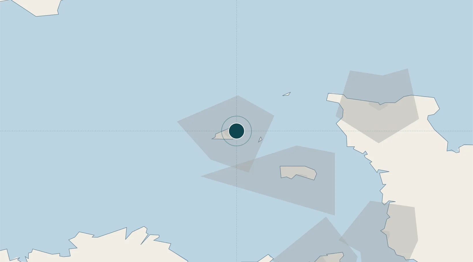
Location
Nearby Logistics Neighbours
Ports
- 1Saint Peter Port4 km
- 2Alderney Harbour36 km
- 3Saint Helier Harbour44 km
- 4Rade De Cherbourg66 km
- 5Paimpol87 km
Cities
- 1Saint Peter Port4 km
- 2Saint Peter Port4 km
- 3Guernsey7 km
- 4Sark12 km
- 5Alderney32 km
Airports
- 1Guernsey Airport8 km
- 2Alderney Airport33 km
- 3Jersey Airport39 km
- 4Cherbourg Manche airport78 km
- 5Granville Airport96 km
Trade Zones
DatabookThe Record of Consolidated Knowledge
Guernsey beyond logistics?