Medium airport · Guernsey
Alderney AirportEGJA
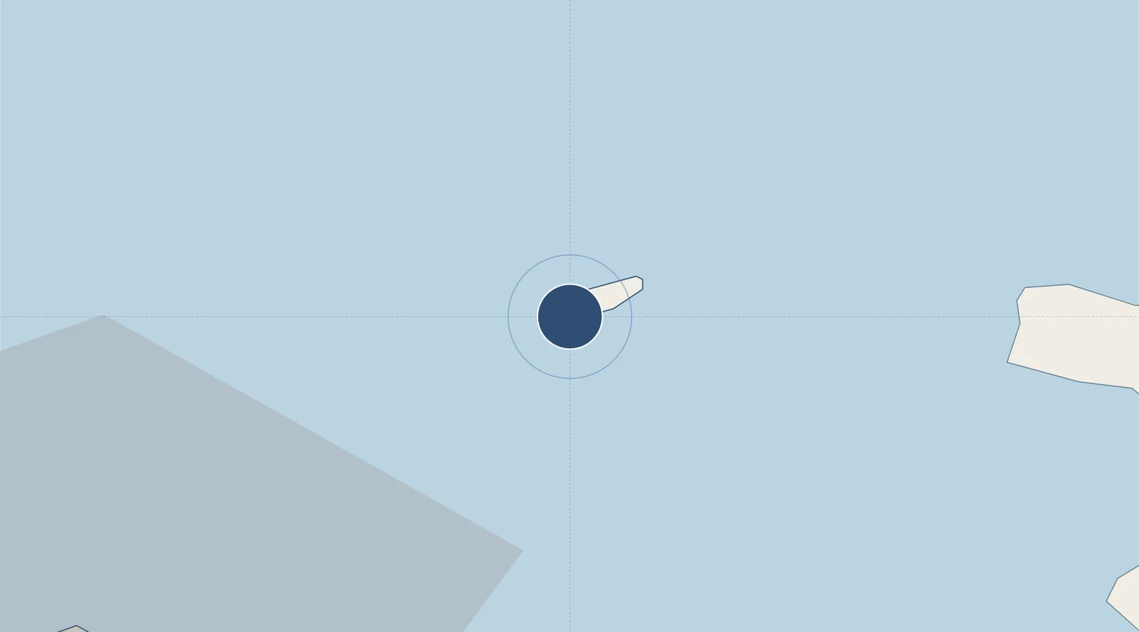
49.7061°, -2.2147°
2,877 ft
Longest runway
3
Runways
290 ft
Elevation
Runway & Layout

Radio Frequencies
TWR
125.35 MHz
GND
130.5 MHz
APP
128.65 MHz
GUERNSEY APP
Runways · 3
| Runway | Dimensions | Surface | True heading | Lit |
|---|---|---|---|---|
| 08/26 | 2,877 × 59ft | Asphalt | 080° | ✓ |
| 13/31 | 2,405 × 121ft | Graded earth | 133° | ✓ |
| 03/21 | 1,631 × 121ft | Graded earth | 027° | — |
Airport Specifications
IATA code
ACI
ICAO code
EGJA
Airport class
Medium airport
Scheduled service
Yes
Runway surface
Asphalt
Served city
Saint Anne
Location
Nearby Logistics Neighbours
Airports
- 1Guernsey Airport41 km
- 2Cherbourg Manche airport54 km
- 3Jersey Airport55 km
- 4Granville Airport103 km
- 5Bournemouth Airport122 km
Cities
- 1Alderney3 km
- 2La Hague29 km
- 3Sark32 km
- 4Les Pieux37 km
- 5Saint Peter Port37 km
Ports
- 1Alderney Harbour3 km
- 2Saint Sampson33 km
- 3Saint Peter Port37 km
- 4Rade De Cherbourg42 km
- 5Saint Helier Harbour59 km
Trade Zones
- 1ZFU Cherbourg-Octeville40 km
- 2Dorset Innovation Park109 km
- 3ZFU La Guérinière, La Grâce de Dieu143 km
- 4Exeter & East Devon Enterprise Zone144 km
- 5Southampton Free Zone145 km
DatabookThe Record of Consolidated Knowledge
Guernsey beyond logistics?