Medium airport · Jersey
Jersey AirportEGJJ
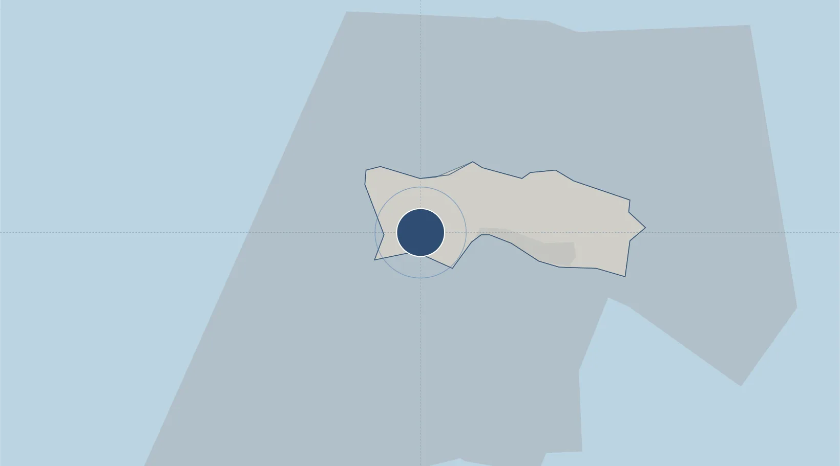
49.2079°, -2.1955°
5,594 ft
Longest runway
1
Runways
277 ft
Elevation
Runway & Layout

Radio Frequencies
ATIS
134.68 MHz
INFO
TWR
119.455 MHz
TWR
120.45 MHz
GND
121.905 MHz
APP/DEP
118.555 MHz
APP/DEP
120.305 MHz
TWR/APP/DEP
125.205 MHz
Navaids
JSY VOR-DME Jersey 112.20 MHz
Runways · 1
| Runway | Dimensions | Surface | True heading | Lit |
|---|---|---|---|---|
| 08/26 | 5,594 × 148ft | Asphalt | 083° | ✓ |
Airport Specifications
IATA code
JER
ICAO code
EGJJ
Airport class
Medium airport
Scheduled service
Yes
Runway surface
Asphalt
Served city
St. Peter
Location
Nearby Logistics Neighbours
Airports
- 1Guernsey Airport39 km
- 2Alderney Airport55 km
- 3Granville Airport59 km
- 4Dinard Pleurtuit Saint-Malo airport70 km
- 5Cherbourg Manche airport72 km
Cities
- 1Saint Brelade1 km
- 2Saint Ouen1 km
- 3Saint Aubin3 km
- 4Saint Johns7 km
- 5Saint Helier8 km
Ports
- 1Saint Helier Harbour6 km
- 2Saint Peter Port36 km
- 3Saint Sampson39 km
- 4Alderney Harbour58 km
- 5Granville60 km
Trade Zones
DatabookThe Record of Consolidated Knowledge
Jersey beyond logistics?