Medium airport · France

Granville AirportLFRF
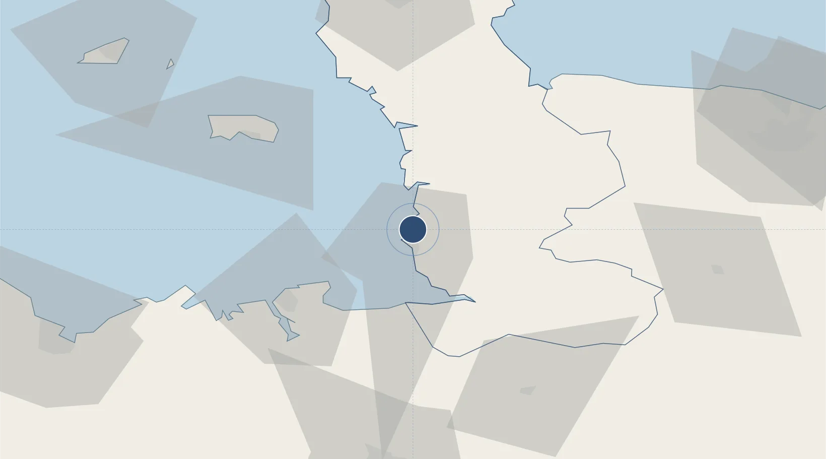
48.8831°, -1.5642°
3,150 ft
Longest runway
1
Runways
45 ft
Elevation

Runway & Layout

Granville Airport runway & taxiway layout
Runway & taxiway layout — OpenStreetMap (ODbL) / OurAirports

Runways · 1

RunwayDimensions SurfaceTrue headingLit
06/24 3,150 × 98ft Asphalt 065°
OurAirports

Airport Specifications

IATA code
GFR
OurAirports
ICAO code
LFRF
OurAirports
Airport class
Medium airport
OurAirports
Scheduled service
No
OurAirports
Runway surface
Asphalt
OurAirports
Served city
Bréville-sur-Mer, Manche
OurAirports

Location

Location of LFRF
Natural Earth 10m (public domain) · Manche · LFRF · 48.88, -1.56GoogleOSMYandex

Nearby Logistics Neighbours

Airports
  1. 1Dinard Pleurtuit Saint-Malo airport50 km
  2. 2Jersey Airport59 km
  3. 3Cherbourg Manche airport86 km
  4. 4Caen Carpiquet airport87 km
  5. 5Rennes-Saint-Jacques Airport91 km
Nearest neighbours — logibook spatial index (haversine) over the source coordinates
Cities
  1. 1Bricqueville-sur-Mer5 km
  2. 2Granville6 km
  3. 3Chausey6 km
  4. 4Saint-Pair-sur-Mer7 km
  5. 5Hauteville-sur-Mer11 km
Nearest neighbours — logibook spatial index (haversine) over the source coordinates
Ports
  1. 1Granville6 km
  2. 2Saint-Malo42 km
  3. 3Saint Helier Harbour52 km
  4. 4Rade De Cherbourg85 km
  5. 5Saint Peter Port95 km
Nearest neighbours — logibook spatial index (haversine) over the source coordinates
Trade Zones
  1. 1ZFU Cherbourg-Octeville85 km
  2. 2ZFU La Guérinière, La Grâce de Dieu91 km
  3. 3ZFU Hérouville-Saint-Clair95 km
  4. 4ZFU Alençon131 km
  5. 5ZFU Le Havre140 km
Nearest neighbours — logibook spatial index (haversine) over the source coordinates
DatabookThe Record of Consolidated Knowledge
France beyond logistics?
Browse databook

All Sources

AirportsOurAirports
Public domain
Portsthe NGA World Port Index
Public domain (US gov)
LocationsUN/LOCODE
UN/LOCODE — free
Trade Zonesthe World Bank SEZ database
CC BY 4.0
Trade ZonesOpen Zone Map
CC BY
InfrastructureOpenStreetMap
ODbL 1.0
← France airports