Export Processing Zone · Dominican Republic

Zona Franca Industrial de la Vega Inactive
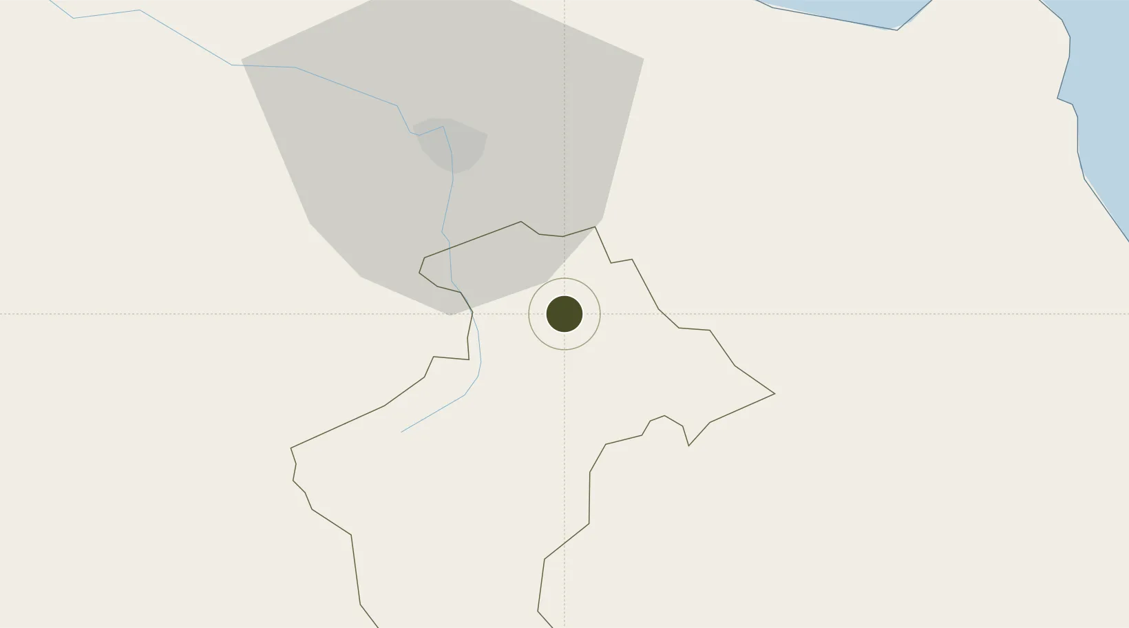
19.2465°, -70.5565°
112 ha
Zone area
63.4 km
Nearest port
18.2 km
Nearest airport

Gateway access

Nearest neighbours — logibook spatial index (haversine) over the source coordinates

Zone profile

Zone type
Export Processing Zone
Open Zone Map
Region
La Vega
Open Zone Map
Status
Inactive
Open Zone Map
Management
Public
Open Zone Map
Operator
PROINDUSTRIA
Open Zone Map
Legal framework
Law 8-90, Amended in December 2007
Open Zone Map

Location

Location of ozm-1814
Natural Earth 10m (public domain) · La Vega · ozm-1814 · 19.25, -70.56GoogleOSMYandex

Nearby Logistics Neighbours

Ports
  1. 1Puerto Plata63 km
  2. 2Amber Cove69 km
  3. 3Sanchez99 km
  4. 4Puerto Viejo De Azua104 km
  5. 5Puerto De Haina108 km
Nearest neighbours — logibook spatial index (haversine) over the source coordinates
Airports
  1. 1Cibao International Airport18 km
  2. 2Gregorio Luperon International Airport57 km
  3. 3Samaná El Catey International Airport86 km
  4. 4La Isabela International Airport96 km
  5. 5San Isidro Air Base118 km
Nearest neighbours — logibook spatial index (haversine) over the source coordinates
Cities
  1. 1Moca16 km
  2. 2Jarabacoa17 km
  3. 3Licey24 km
  4. 4San Francisco de Macorís33 km
  5. 5Hato del Yaque33 km
Nearest neighbours — logibook spatial index (haversine) over the source coordinates
DatabookThe Record of Consolidated Knowledge
Dominican Republic beyond logistics?
Browse databook

All Sources

Trade ZonesOpen Zone Map
CC BY
Portsthe NGA World Port Index
Public domain (US gov)
AirportsOurAirports
Public domain
LocationsUN/LOCODE
UN/LOCODE — free
← Dominican Republic trade zones