Medium airport · Dominican Republic

Samaná El Catey International AirportMDCY
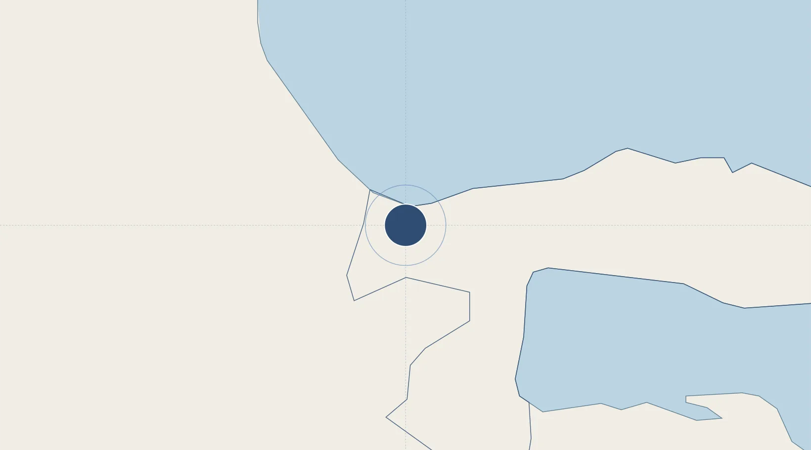
19.2693°, -69.7374°
9,843 ft
Longest runway
1
Runways
30 ft
Elevation

Runway & Layout

Samaná El Catey International Airport runway & taxiway layout
Runway & taxiway layout — OpenStreetMap (ODbL) / OurAirports

Runways · 1

RunwayDimensions SurfaceTrue headingLit
07/25 9,843 × 148ft asphalt 074°
OurAirports

Airport Specifications

IATA code
AZS
OurAirports
ICAO code
MDCY
OurAirports
Airport class
Medium airport
OurAirports
Scheduled service
Yes
OurAirports
Runway surface
asphalt
OurAirports
Served city
Samana
OurAirports

Location

Location of MDCY
Natural Earth 10m (public domain) · Samaná · MDCY · 19.27, -69.74GoogleOSMYandex

Nearby Logistics Neighbours

Airports
  1. 1Los Llanos de Sabanatosa Airport78 km
  2. 2La Isabela International Airport82 km
  3. 3San Isidro Air Base85 km
  4. 4Cibao International Airport92 km
  5. 5Las Américas International Airport94 km
Nearest neighbours — logibook spatial index (haversine) over the source coordinates
Cities
  1. 1Sánchez13 km
  2. 2Nagua16 km
  3. 3Pimentel39 km
  4. 4Sabana de la Mar44 km
  5. 5Cayo Levantado45 km
Nearest neighbours — logibook spatial index (haversine) over the source coordinates
Ports
  1. 1Sanchez13 km
  2. 2Santa Barbara De Samana43 km
  3. 3Santo Domingo91 km
  4. 4Andres (Andres Lng Terminal)94 km
  5. 5Puerto De Haina99 km
Nearest neighbours — logibook spatial index (haversine) over the source coordinates
DatabookThe Record of Consolidated Knowledge
Dominican Republic beyond logistics?
Browse databook

All Sources

AirportsOurAirports
Public domain
Portsthe NGA World Port Index
Public domain (US gov)
LocationsUN/LOCODE
UN/LOCODE — free
Trade Zonesthe World Bank SEZ database
CC BY 4.0
Trade ZonesOpen Zone Map
CC BY
InfrastructureOpenStreetMap
ODbL 1.0
← Dominican Republic airports