Medium airport · Dominican Republic

San Isidro Air BaseMDSI
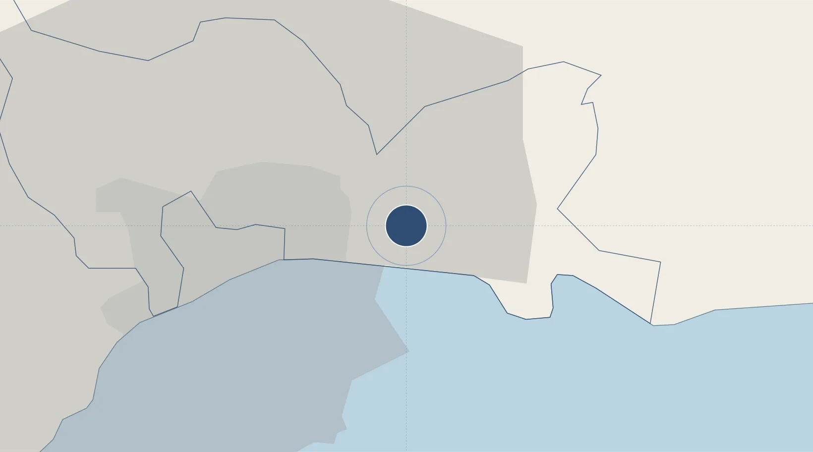
18.5037°, -69.7617°
7,000 ft
Longest runway
1
Runways
111 ft
Elevation

Runway & Layout

San Isidro Air Base runway & taxiway layout
Runway & taxiway layout — OpenStreetMap (ODbL) / OurAirports

Radio Frequencies

TWR
122.7 MHz
OurAirports

Navaids

HIJ NDB San Isidro 220 kHz
SIS VOR San Isidro 114.50 MHz
OurAirports

Runways · 1

RunwayDimensions SurfaceTrue headingLit
03/21 7,000 × 200ft Asphalt 026°
OurAirports

Airport Specifications

ICAO code
MDSI
OurAirports
Airport class
Medium airport
OurAirports
Scheduled service
No
OurAirports
Runway surface
Asphalt
OurAirports
Served city
San Isidro
OurAirports

Location

Location of MDSI
Natural Earth 10m (public domain) · Santo Domingo · MDSI · 18.50, -69.76GoogleOSMYandex

Nearby Logistics Neighbours

Airports
  1. 1Las Américas International Airport13 km
  2. 2La Isabela International Airport25 km
  3. 3Los Llanos de Sabanatosa Airport27 km
  4. 4Samaná El Catey International Airport85 km
  5. 5Casa De Campo International Airport90 km
Nearest neighbours — logibook spatial index (haversine) over the source coordinates
Cities
  1. 1San Isidro3 km
  2. 2Hainamosa8 km
  3. 3Guerra8 km
  4. 4Caucedo15 km
  5. 5San Carlos15 km
Nearest neighbours — logibook spatial index (haversine) over the source coordinates
Ports
  1. 1Santo Domingo14 km
  2. 2Andres (Andres Lng Terminal)16 km
  3. 3Puerto De Haina29 km
  4. 4San Pedro De Macoris47 km
  5. 5Sanchez83 km
Nearest neighbours — logibook spatial index (haversine) over the source coordinates
DatabookThe Record of Consolidated Knowledge
Dominican Republic beyond logistics?
Browse databook

All Sources

AirportsOurAirports
Public domain
Portsthe NGA World Port Index
Public domain (US gov)
LocationsUN/LOCODE
UN/LOCODE — free
Trade Zonesthe World Bank SEZ database
CC BY 4.0
Trade ZonesOpen Zone Map
CC BY
InfrastructureOpenStreetMap
ODbL 1.0
← Dominican Republic airports