Transport Functions
Multimodal
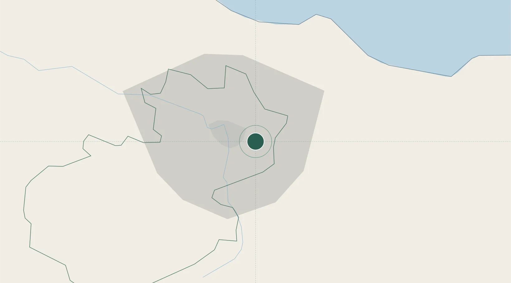
Hub Profile
Place type
Populated place
Region
Santiago Province
Time zone
America/Santo_Domingo
Elevation
207 m
Location
Nearby Logistics Neighbours
Cities
- 1Hato del Yaque14 km
- 2Moca14 km
- 3Villa Gonzalez18 km
- 4Jarabacoa37 km
- 5San Francisco de Macorís44 km
Ports
- 1Puerto Plata40 km
- 2Amber Cove45 km
- 3Sanchez109 km
- 4Pepillo Salcedo120 km
- 5Manzanillo121 km
Airports
DatabookThe Record of Consolidated Knowledge
Dominican Republic beyond logistics?