Channel & Berth Profile
Pilotage, Tugs & Services
Pilotage compulsoryNO
Pilotage availableYES
Tug assistanceYES
Potable waterYES
MedicalNO
Facilities & Capabilities
Container—
Ro-Ro—
Liquid bulk—
Dry bulk—
Oil terminal—
Break bulk—
Dry dock—
RepairsNO
Bunkering—
Rail linkYES
Dangerous cargo—
ISPS security—
Harbour Specifications
Harbour size
Very Small
Harbour type
Open Roadstead
Shelter
Fair
Water body
North Atlantic Ocean
Tidal range
0.6 m
Overhead limit
No
Pilotage
No
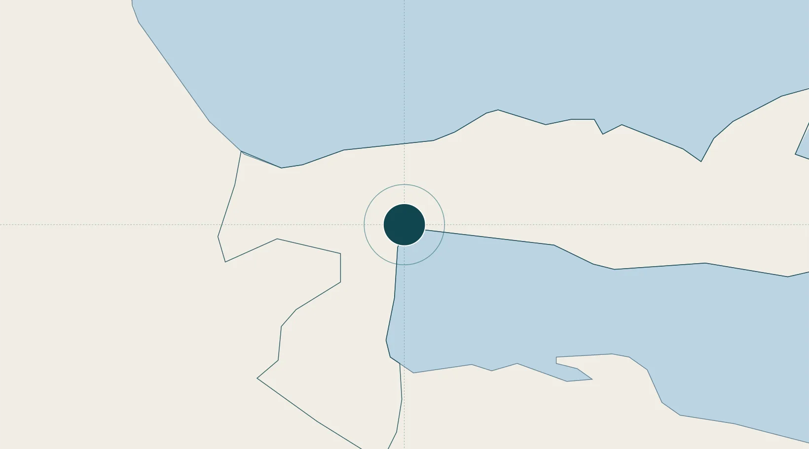
Location
Nearby Logistics Neighbours
Ports
- 1Santa Barbara De Samana30 km
- 2Andres (Andres Lng Terminal)89 km
- 3Santo Domingo90 km
- 4San Pedro De Macoris93 km
- 5Puerto De Haina100 km
Cities
- 1Nagua28 km
- 2Sabana de la Mar31 km
- 3Cayo Levantado32 km
- 4Pimentel51 km
- 5San Francisco de Macorís67 km
Airports
DatabookThe Record of Consolidated Knowledge
Dominican Republic beyond logistics?