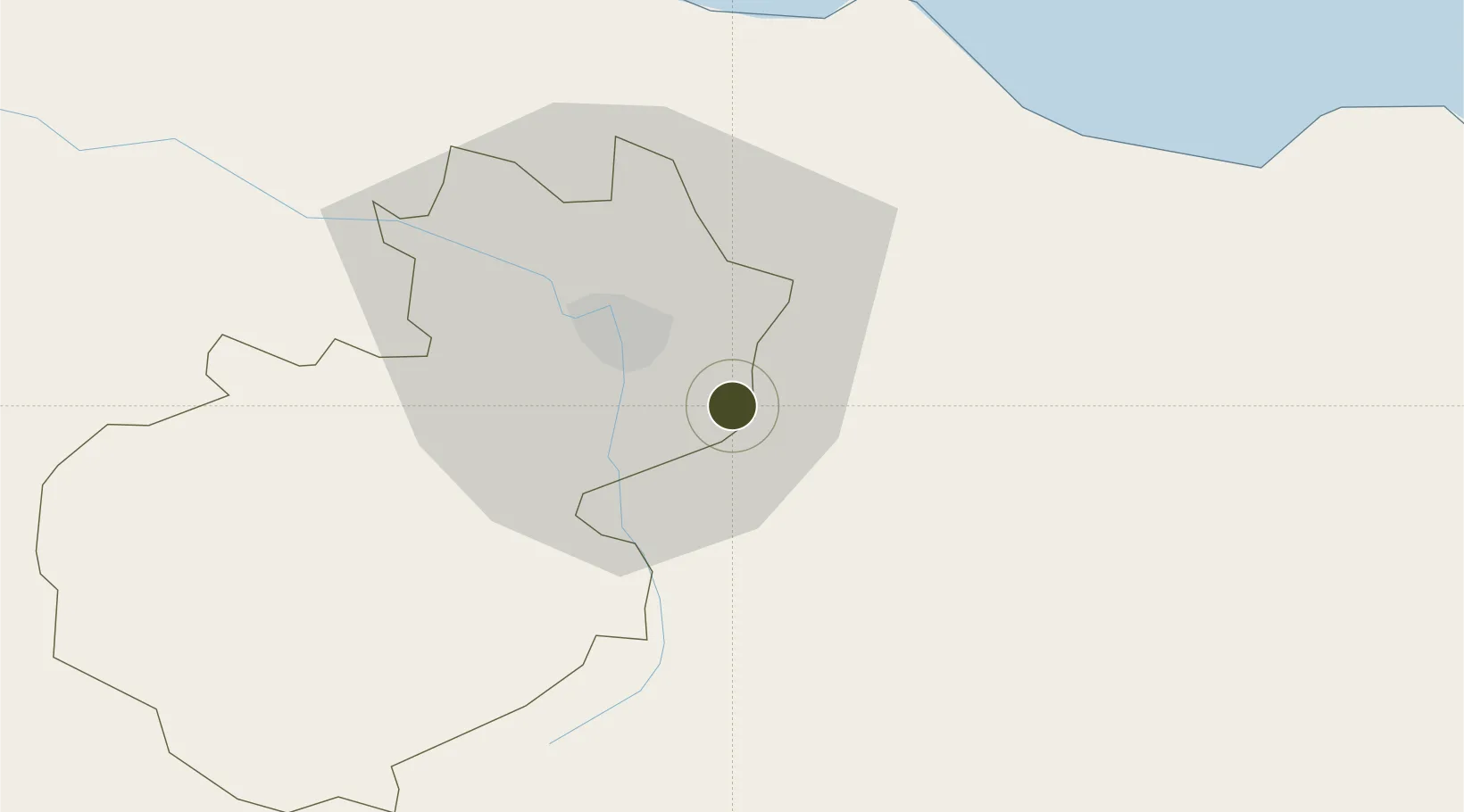
Free Trade Zone · Dominican Republic

Parque Industrial y Zona Franca Cibao Active

19.4021°, -70.6041°
38 ha
Zone area
45.4 km
Nearest port
0.2 km
Nearest airport

Gateway access

Nearest neighbours — logibook spatial index (haversine) over the source coordinates

Zone profile

Zone type
Free Trade Zone
Open Zone Map
Region
Santiago
Open Zone Map
Status
Active
Open Zone Map
Management
Private
Open Zone Map
Operator
Cibao International Airport SA
Open Zone Map
Legal framework
Law 8-90, Amended in December 2007
Open Zone Map

Location

Location of ozm-1829
Natural Earth 10m (public domain) · Santiago · ozm-1829 · 19.40, -70.60GoogleOSMYandex

Nearby Logistics Neighbours

Ports
  1. 1Puerto Plata45 km
  2. 2Amber Cove51 km
  3. 3Sanchez105 km
  4. 4Puerto Viejo De Azua120 km
  5. 5Pepillo Salcedo125 km
Nearest neighbours — logibook spatial index (haversine) over the source coordinates
Airports
  1. 1Cibao International Airport0 km
  2. 2Gregorio Luperon International Airport40 km
  3. 3Samaná El Catey International Airport92 km
  4. 4La Isabela International Airport113 km
  5. 5San Isidro Air Base134 km
Nearest neighbours — logibook spatial index (haversine) over the source coordinates
Cities
  1. 1Licey6 km
  2. 2Moca9 km
  3. 3Hato del Yaque19 km
  4. 4Villa Gonzalez24 km
  5. 5Jarabacoa32 km
Nearest neighbours — logibook spatial index (haversine) over the source coordinates
DatabookThe Record of Consolidated Knowledge
Dominican Republic beyond logistics?
Browse databook

All Sources

Trade ZonesOpen Zone Map
CC BY
Portsthe NGA World Port Index
Public domain (US gov)
AirportsOurAirports
Public domain
LocationsUN/LOCODE
UN/LOCODE — free
← Dominican Republic trade zones