Seaport · Dominican Republic

Amber CoveCOAMB

19.8333°, -70.7667°

Channel & Berth Profile

NGA World Port Index

Facilities & Capabilities

Container
Ro-Ro
Liquid bulk
Dry bulk
Oil terminal
Break bulk
Dry dock
Repairs
Bunkering
Rail link
Dangerous cargo
ISPS securityYES
NGA World Port Index

Harbour Specifications

Water body
North Atlantic Ocean
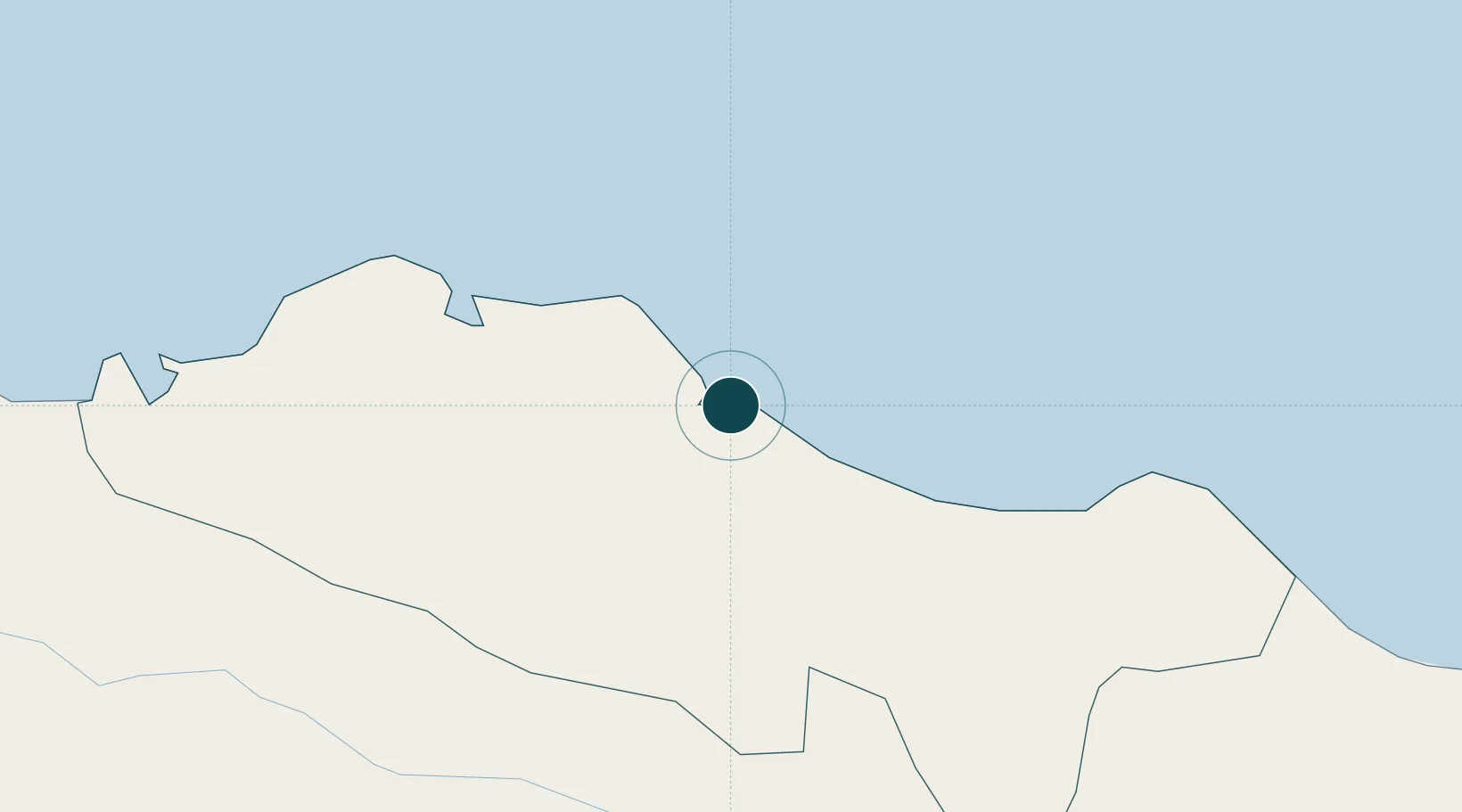
NGA World Port Index

Location

Location of COAMB
Natural Earth 10m (public domain) · Puerto Plata · COAMB · 19.83, -70.77GoogleOSMYandex

Nearby Logistics Neighbours

Ports
  1. 1Puerto Plata8 km
  2. 2Manzanillo104 km
  3. 3Pepillo Salcedo104 km
  4. 4Sanchez138 km
  5. 5Cap Haitien150 km
Nearest neighbours — logibook spatial index (haversine) over the source coordinates
Cities
  1. 1Luperon21 km
  2. 2Villa Gonzalez33 km
  3. 3Hato del Yaque41 km
  4. 4Licey45 km
  5. 5Piloto52 km
Nearest neighbours — logibook spatial index (haversine) over the source coordinates
Airports
  1. 1Gregorio Luperon International Airport22 km
  2. 2Cibao International Airport51 km
  3. 3Samaná El Catey International Airport125 km
  4. 4Cap Haitien International Airport151 km
  5. 5La Isabela International Airport162 km
Nearest neighbours — logibook spatial index (haversine) over the source coordinates
Trade Zones
  1. 1Zona Franca Bahia de Maimon5 km
  2. 2Puerto Plata Industrial Free Zone6 km
  3. 3Limestone Park20 km
  4. 4Gregorio Luperón International Airport (Puerto Plata Airport)23 km
  5. 5Zona Franca Industrial Emimar31 km
Nearest neighbours — logibook spatial index (haversine) over the source coordinates
DatabookThe Record of Consolidated Knowledge
Dominican Republic beyond logistics?
Browse databook

All Sources

Portsthe NGA World Port Index
Public domain (US gov)
AirportsOurAirports
Public domain
LocationsUN/LOCODE
UN/LOCODE — free
Trade Zonesthe World Bank SEZ database
CC BY 4.0
Trade ZonesOpen Zone Map
CC BY
← Dominican Republic ports