UN/LOCODE hub · Dominican Republic
DOSFN

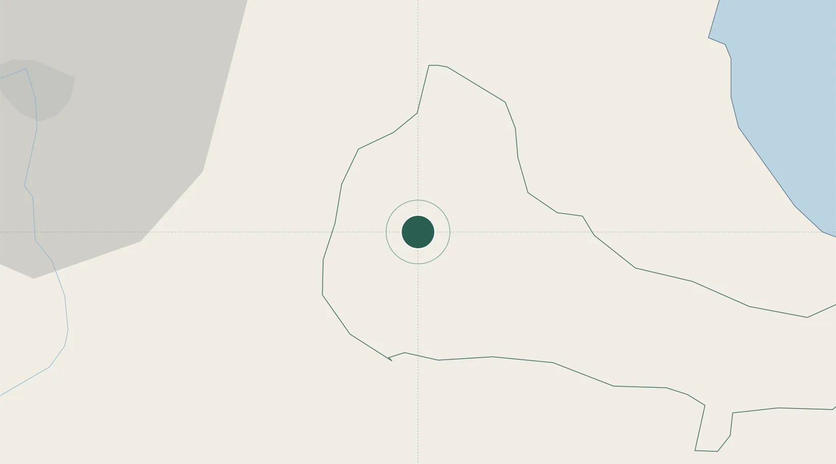
San Francisco de Macorís

19.3000°, -70.2500°
124,763
Population
1
Transport functions

Transport Functions

Port
UN/LOCODE

Hub Profile

Place type
Regional capital
GeoNames
Region
Duarte Province
GeoNames
Population
124,763
GeoNames
Time zone
America/Santo_Domingo
GeoNames
Elevation
123 m
GeoNames

Location

Location of DOSFN
Natural Earth 10m (public domain) · Duarte Province · DOSFN · 19.30, -70.25GoogleOSMYandex

Nearby Logistics Neighbours

Cities
  1. 1Pimentel20 km
  2. 2Moca30 km
  3. 3Licey44 km
  4. 4Bonao44 km
  5. 5Nagua45 km
Nearest neighbours — logibook spatial index (haversine) over the source coordinates
Ports
  1. 1Sanchez67 km
  2. 2Puerto Plata73 km
  3. 3Amber Cove80 km
  4. 4Santa Barbara De Samana97 km
  5. 5Santo Domingo100 km
Nearest neighbours — logibook spatial index (haversine) over the source coordinates
Airports
  1. 1Cibao International Airport39 km
  2. 2Samaná El Catey International Airport54 km
  3. 3Gregorio Luperon International Airport61 km
  4. 4La Isabela International Airport86 km
  5. 5San Isidro Air Base102 km
Nearest neighbours — logibook spatial index (haversine) over the source coordinates
DatabookThe Record of Consolidated Knowledge
Dominican Republic beyond logistics?
Browse databook

All Sources

LocationsUN/LOCODE
UN/LOCODE — free
LocationsGeoNames
CC BY 4.0
Portsthe NGA World Port Index
Public domain (US gov)
AirportsOurAirports
Public domain
Trade Zonesthe World Bank SEZ database
CC BY 4.0
Trade ZonesOpen Zone Map
CC BY
← Dominican Republic locations