Export Processing Zone · Dominican Republic

Zona Franca Industrial Moca Active
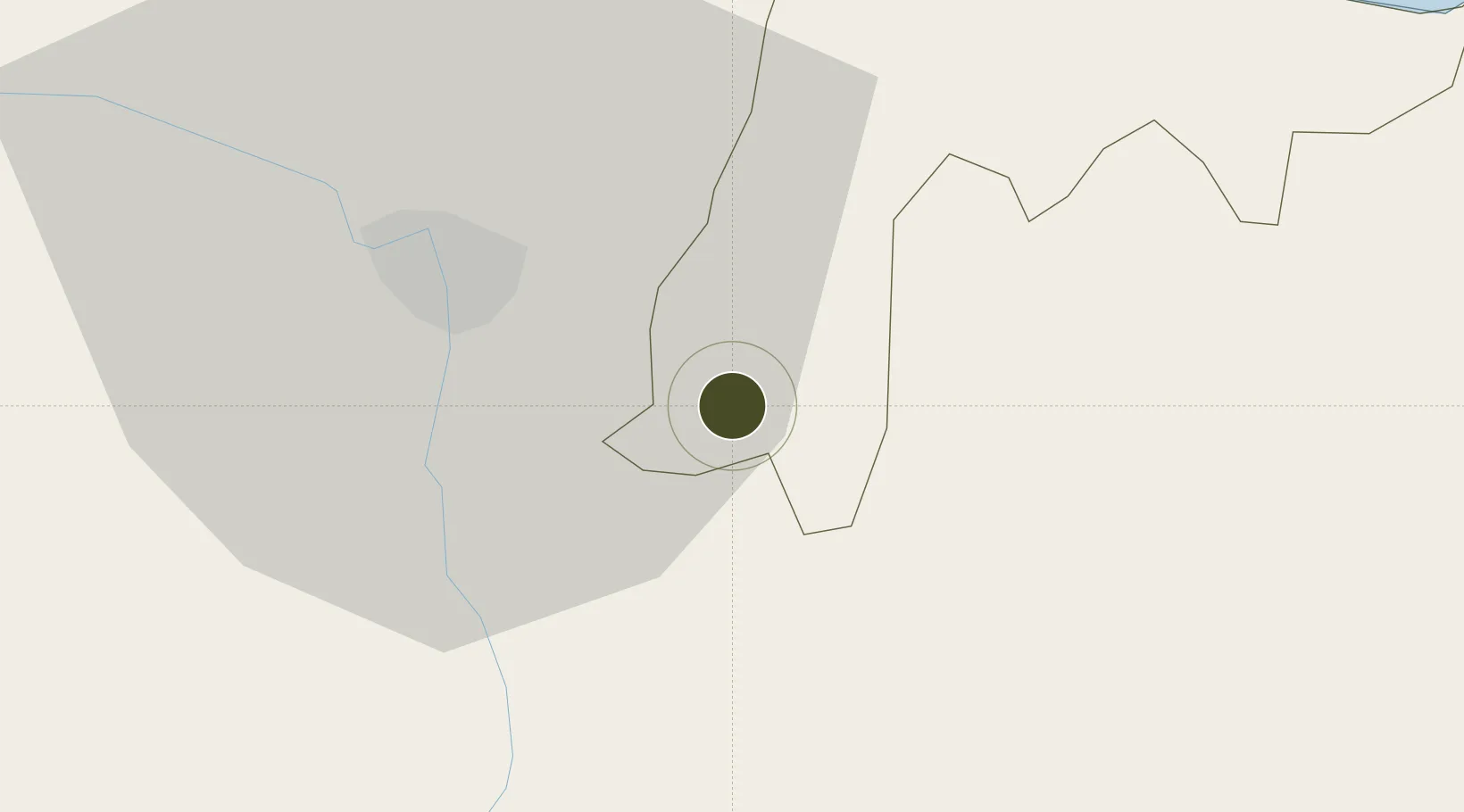
19.3901°, -70.5373°
46 ha
Zone area
48.7 km
Nearest port
7.2 km
Nearest airport

Gateway access

Nearest neighbours — logibook spatial index (haversine) over the source coordinates

Zone profile

Zone type
Export Processing Zone
Open Zone Map
Region
Espaillat
Open Zone Map
Status
Active
Open Zone Map
Management
Public
Open Zone Map
Operator
PROINDUSTRIA
Open Zone Map
Legal framework
Law 8-90, Amended in December 2007
Open Zone Map

Location

Location of ozm-1805
Natural Earth 10m (public domain) · Espaillat · ozm-1805 · 19.39, -70.54GoogleOSMYandex

Nearby Logistics Neighbours

Ports
  1. 1Puerto Plata49 km
  2. 2Amber Cove55 km
  3. 3Sanchez98 km
  4. 4Puerto Viejo De Azua120 km
  5. 5Puerto De Haina121 km
Nearest neighbours — logibook spatial index (haversine) over the source coordinates
Airports
  1. 1Cibao International Airport7 km
  2. 2Gregorio Luperon International Airport41 km
  3. 3Samaná El Catey International Airport85 km
  4. 4La Isabela International Airport108 km
  5. 5San Isidro Air Base128 km
Nearest neighbours — logibook spatial index (haversine) over the source coordinates
Cities
  1. 1Moca2 km
  2. 2Licey12 km
  3. 3Hato del Yaque26 km
  4. 4Villa Gonzalez30 km
  5. 5San Francisco de Macorís32 km
Nearest neighbours — logibook spatial index (haversine) over the source coordinates
DatabookThe Record of Consolidated Knowledge
Dominican Republic beyond logistics?
Browse databook

All Sources

Trade ZonesOpen Zone Map
CC BY
Portsthe NGA World Port Index
Public domain (US gov)
AirportsOurAirports
Public domain
LocationsUN/LOCODE
UN/LOCODE — free
← Dominican Republic trade zones