Free Zone · Dominican Republic

Caribbean Industrial Park Industrial Free Zone Active
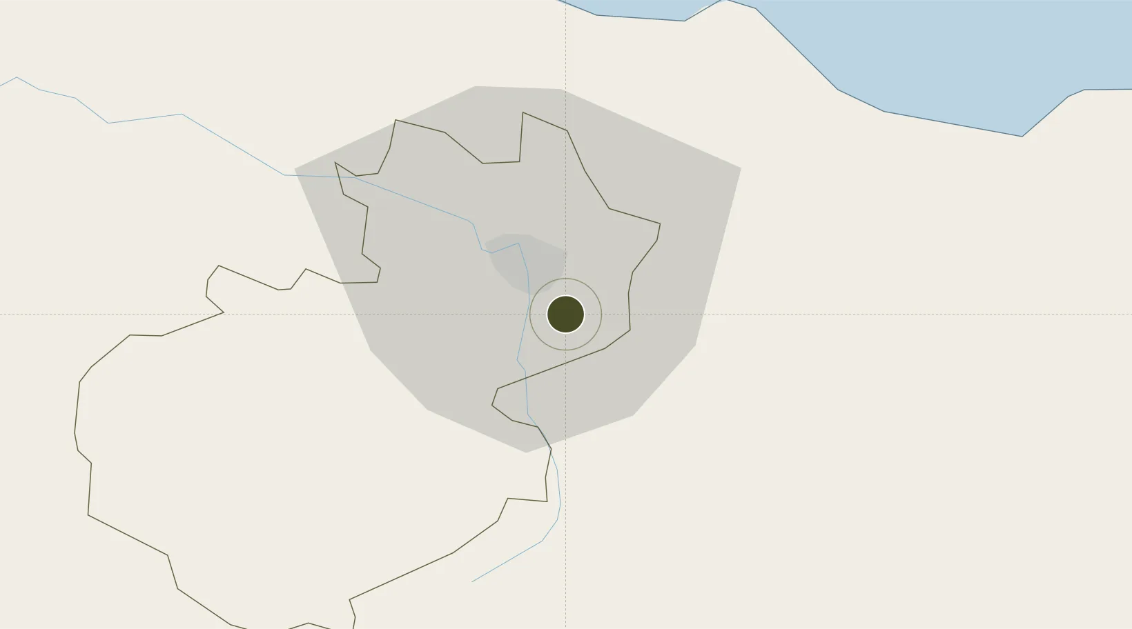
19.4097°, -70.6609°
55 ha
Zone area
43.6 km
Nearest port
6.0 km
Nearest airport

Gateway access

Nearest neighbours — logibook spatial index (haversine) over the source coordinates

Zone profile

Zone type
Free Zone
the World Bank SEZ database
Region
Santiago
the World Bank SEZ database
Status
Active
the World Bank SEZ database
Established
1997
the World Bank SEZ database
Management
Private management
the World Bank SEZ database
Operator
Caribbean Industrial Park
the World Bank SEZ database
Regulatory authority
Consejo Nacional de Zonas Francas de Exportacion
the World Bank SEZ database
Legal framework
Free Zones Law 8-90
the World Bank SEZ database

Location

Location of DOM28
Natural Earth 10m (public domain) · Santiago · DOM28 · 19.41, -70.66GoogleOSMYandex

Fiscal & incentives

Corporate tax
27%
the World Bank SEZ database
Tax relief
100% exempt
the World Bank SEZ database
Relief duration
15 years
the World Bank SEZ database
VAT
No exemption
the World Bank SEZ database
Import duty (inputs)
100% exempt
the World Bank SEZ database
Import duty (capex)
100% exempt
the World Bank SEZ database
Profit repatriation
No exemption
the World Bank SEZ database
Capital gains
No exemption
the World Bank SEZ database
Withholding tax
No exemption
the World Bank SEZ database
Min. investment
None
the World Bank SEZ database
Min. export
80% for products and serviced produced locally only
the World Bank SEZ database
Employment incentive
No exemption
the World Bank SEZ database
Developer incentive
Yes
the World Bank SEZ database

Nearby Logistics Neighbours

Ports
  1. 1Puerto Plata44 km
  2. 2Amber Cove48 km
  3. 3Sanchez111 km
  4. 4Pepillo Salcedo119 km
  5. 5Manzanillo119 km
Nearest neighbours — logibook spatial index (haversine) over the source coordinates
Airports
  1. 1Cibao International Airport6 km
  2. 2Gregorio Luperon International Airport40 km
  3. 3Samaná El Catey International Airport98 km
  4. 4La Isabela International Airport117 km
  5. 5Maria Montez International Airport138 km
Nearest neighbours — logibook spatial index (haversine) over the source coordinates
Cities
  1. 1Licey5 km
  2. 2Hato del Yaque13 km
  3. 3Moca15 km
  4. 4Villa Gonzalez19 km
  5. 5Jarabacoa33 km
Nearest neighbours — logibook spatial index (haversine) over the source coordinates
DatabookThe Record of Consolidated Knowledge
Dominican Republic beyond logistics?
Browse databook

All Sources

Trade Zonesthe World Bank SEZ database
CC BY 4.0
Portsthe NGA World Port Index
Public domain (US gov)
AirportsOurAirports
Public domain
LocationsUN/LOCODE
UN/LOCODE — free
← Dominican Republic trade zones