Export Processing Zone · Dominican Republic

Zona Franca Industrial El Limonal Inactive
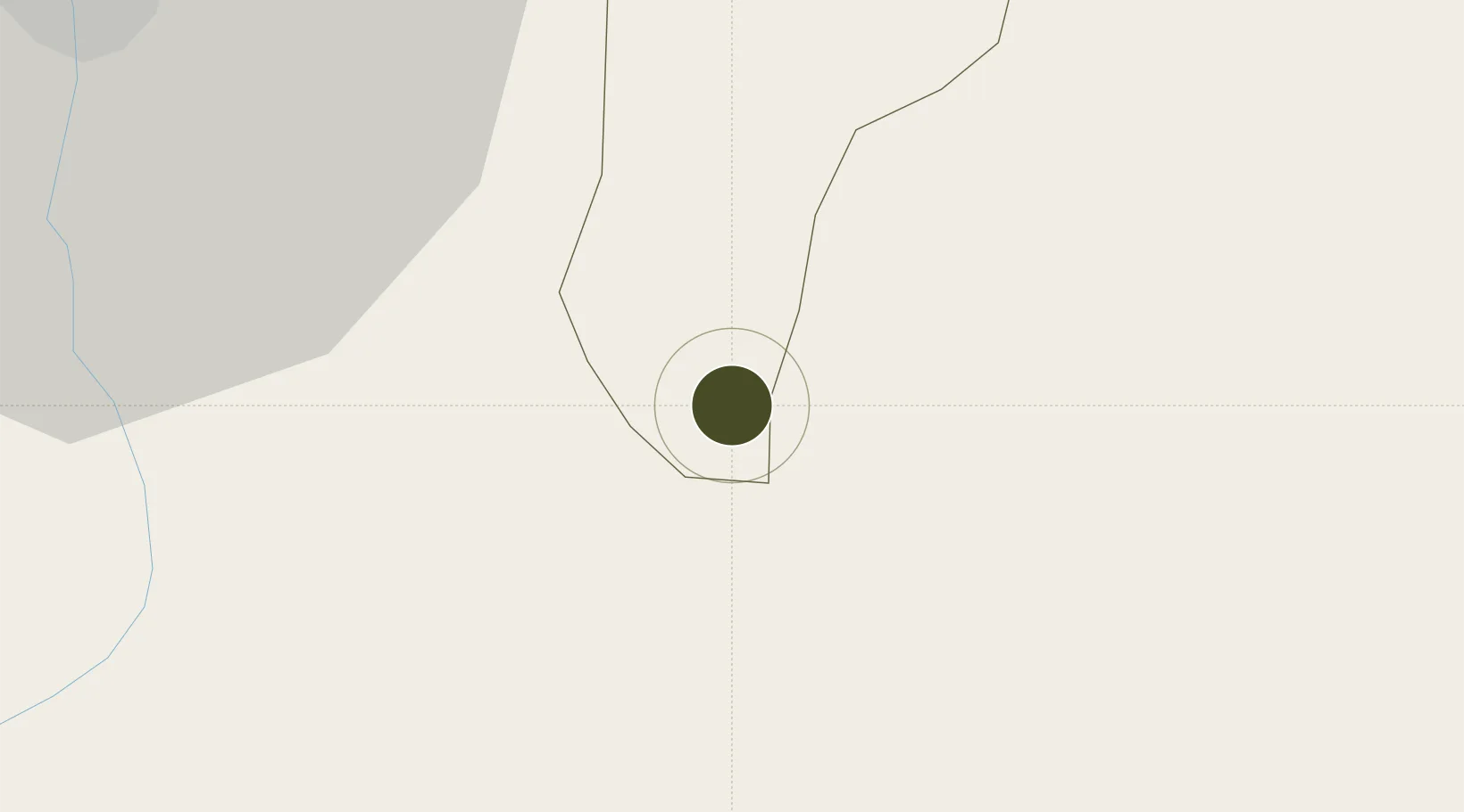
19.2632°, -70.3820°
8 ha
Zone area
68.4 km
Nearest port
28.1 km
Nearest airport

Gateway access

Nearest neighbours — logibook spatial index (haversine) over the source coordinates

Zone profile

Zone type
Export Processing Zone
Open Zone Map
Region
Hermanas
Open Zone Map
Status
Inactive
Open Zone Map
Management
Private
Open Zone Map
Operator
ARV Group
Open Zone Map
Legal framework
Law 8-90, Amended in December 2007
Open Zone Map

Location

Location of ozm-1780
Natural Earth 10m (public domain) · Hermanas · ozm-1780 · 19.26, -70.38GoogleOSMYandex

Nearby Logistics Neighbours

Ports
  1. 1Puerto Plata68 km
  2. 2Amber Cove75 km
  3. 3Sanchez80 km
  4. 4Puerto De Haina102 km
  5. 5Santo Domingo103 km
Nearest neighbours — logibook spatial index (haversine) over the source coordinates
Airports
  1. 1Cibao International Airport28 km
  2. 2Gregorio Luperon International Airport58 km
  3. 3Samaná El Catey International Airport68 km
  4. 4La Isabela International Airport87 km
  5. 5San Isidro Air Base107 km
Nearest neighbours — logibook spatial index (haversine) over the source coordinates
Cities
  1. 1San Francisco de Macorís14 km
  2. 2Moca19 km
  3. 3Pimentel31 km
  4. 4Jarabacoa31 km
  5. 5Licey34 km
Nearest neighbours — logibook spatial index (haversine) over the source coordinates
DatabookThe Record of Consolidated Knowledge
Dominican Republic beyond logistics?
Browse databook

All Sources

Trade ZonesOpen Zone Map
CC BY
Portsthe NGA World Port Index
Public domain (US gov)
AirportsOurAirports
Public domain
LocationsUN/LOCODE
UN/LOCODE — free
← Dominican Republic trade zones