UN/LOCODE hub · Dominican Republic
DOMCA
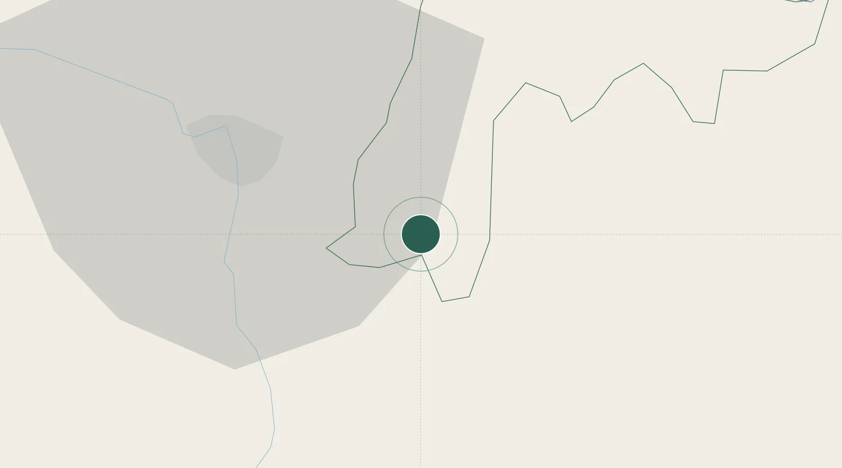
Moca
19.3833°, -70.5167°
61,834
Population
1
Transport functions
Transport Functions
Multimodal
Hub Profile
Place type
Regional capital
Region
Espaillat Province
Population
61,834
Time zone
America/Santo_Domingo
Elevation
185 m
Location
Nearby Logistics Neighbours
Cities
- 1Licey14 km
- 2Hato del Yaque28 km
- 3San Francisco de Macorís30 km
- 4Jarabacoa32 km
- 5Villa Gonzalez33 km
Ports
- 1Puerto Plata50 km
- 2Amber Cove57 km
- 3Sanchez96 km
- 4Puerto Viejo De Azua120 km
- 5Puerto De Haina120 km
Airports
DatabookThe Record of Consolidated Knowledge
Dominican Republic beyond logistics?