Medium airport · Dominican Republic

La Isabela International AirportMDJB
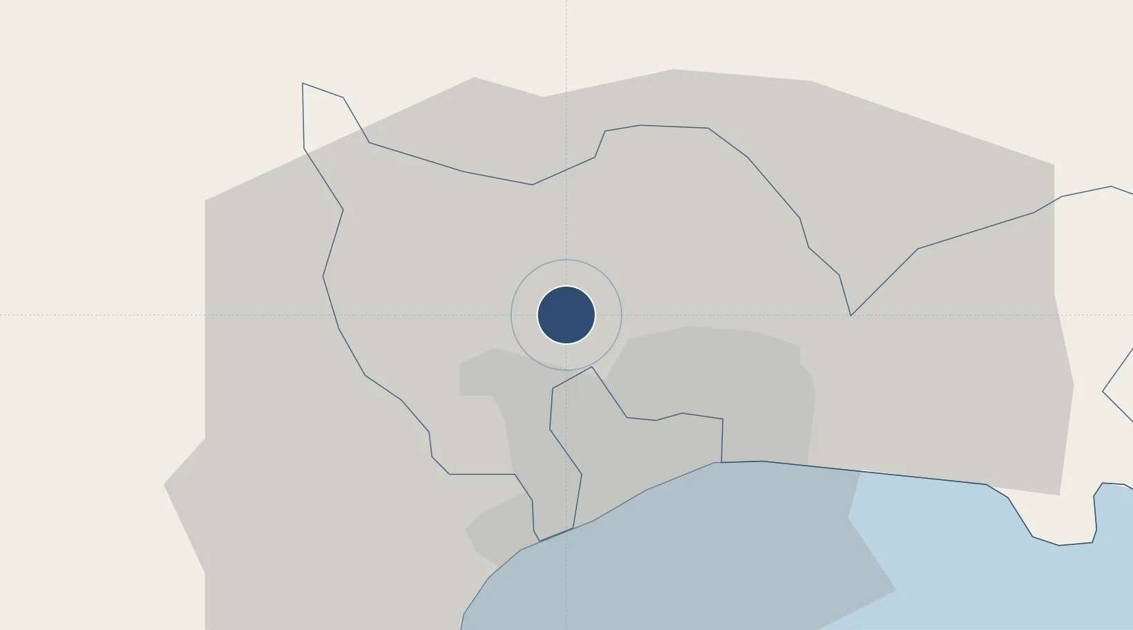
18.5725°, -69.9856°
5,412 ft
Longest runway
1
Runways
98 ft
Elevation

Runway & Layout

La Isabela International Airport runway & taxiway layout
Runway & taxiway layout — OpenStreetMap (ODbL) / OurAirports

Radio Frequencies

Tower
118.9 MHz
Ground
121.7 MHz
HIGUERO TWR
OurAirports

Navaids

HGR VOR-DME Higuero 115.80 MHz
OurAirports

Runways · 1

RunwayDimensions SurfaceTrue headingLit
01/19 5,412 × 100ft Asphalt 006°
OurAirports

Airport Specifications

IATA code
JBQ
OurAirports
ICAO code
MDJB
OurAirports
Airport class
Medium airport
OurAirports
Scheduled service
Yes
OurAirports
Runway surface
Asphalt
OurAirports
Served city
La Isabela
OurAirports

Location

Location of MDJB
Natural Earth 10m (public domain) · Santo Domingo · MDJB · 18.57, -69.99GoogleOSMYandex

Nearby Logistics Neighbours

Airports
  1. 1San Isidro Air Base25 km
  2. 2Las Américas International Airport37 km
  3. 3Los Llanos de Sabanatosa Airport49 km
  4. 4Samaná El Catey International Airport82 km
  5. 5Cibao International Airport113 km
Nearest neighbours — logibook spatial index (haversine) over the source coordinates
Cities
  1. 1Villa Mella9 km
  2. 2San Carlos13 km
  3. 3Barcequillo16 km
  4. 4Pedro Brand16 km
  5. 5Rio Haina16 km
Nearest neighbours — logibook spatial index (haversine) over the source coordinates
Ports
  1. 1Santo Domingo16 km
  2. 2Puerto De Haina18 km
  3. 3Andres (Andres Lng Terminal)40 km
  4. 4Las Calderas69 km
  5. 5San Pedro De Macoris72 km
Nearest neighbours — logibook spatial index (haversine) over the source coordinates
Trade Zones
  1. 1Global Zona Franca Industrial5 km
  2. 2Intercontinental Free Zone5 km
  3. 3Global Industrial Free Zone6 km
  4. 4Parque Industrial Avocado Acres6 km
  5. 5Parque Industrial Duarte8 km
Nearest neighbours — logibook spatial index (haversine) over the source coordinates
DatabookThe Record of Consolidated Knowledge
Dominican Republic beyond logistics?
Browse databook

All Sources

AirportsOurAirports
Public domain
Portsthe NGA World Port Index
Public domain (US gov)
LocationsUN/LOCODE
UN/LOCODE — free
Trade Zonesthe World Bank SEZ database
CC BY 4.0
Trade ZonesOpen Zone Map
CC BY
InfrastructureOpenStreetMap
ODbL 1.0
← Dominican Republic airports