Seaport · Dominican Republic
Puerto PlataDOPOP
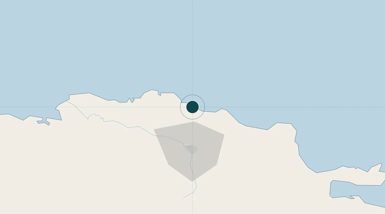
19.8000°, -70.7000°
9.4 m
Channel depth
24.4
Port liner connectivity
Channel & Berth Profile
Pilotage, Tugs & Services
Pilotage compulsoryYES
Pilotage availableYES
Pilotage advisableYES
Local assistanceYES
Tug assistanceYES
Salvage tugsNO
Potable waterYES
MedicalYES
Facilities & Capabilities
ContainerYES
Ro-RoYES
Liquid bulkYES
Dry bulkYES
Oil terminal—
Break bulkYES
Dry dock—
RepairsNO
BunkeringYES
Rail link—
Dangerous cargo—
ISPS securityYES
Harbour Specifications
Harbour size
Small
Harbour type
Open Roadstead
Shelter
Good
Water body
North Atlantic Ocean
Tidal range
0.5 m
Overhead limit
Yes
Pilotage
Yes
Liner Connectivity
24.4
PLSCI
Port Liner Shipping Connectivity Index for Puerto Plata, as published by UNCTAD for the latest available quarter. Higher values indicate stronger scheduled liner-shipping integration.
Shown relative to the highest per-port PLSCI in the dataset (1,657.9).
Location
Nearby Logistics Neighbours
Ports
- 1Amber Cove8 km
- 2Manzanillo110 km
- 3Pepillo Salcedo110 km
- 4Sanchez130 km
- 5Cap Haitien157 km
Cities
- 1Luperon28 km
- 2Villa Gonzalez31 km
- 3Hato del Yaque38 km
- 4Licey40 km
- 5Moca50 km
Airports
DatabookThe Record of Consolidated Knowledge
Dominican Republic beyond logistics?