UN/LOCODE hub · Dominican Republic
DOJBC
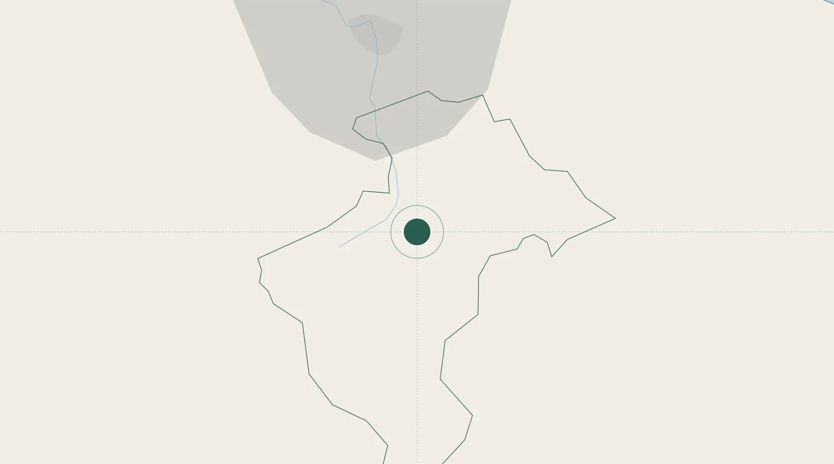
Jarabacoa
19.1167°, -70.6333°
29,983
Population
1
Transport functions
Transport Functions
Multimodal
Hub Profile
Place type
Populated place
Region
La Vega
Population
29,983
Time zone
America/Santo_Domingo
Elevation
552 m
Location
Nearby Logistics Neighbours
Cities
- 1Constanza25 km
- 2Bonao32 km
- 3Moca32 km
- 4Licey37 km
- 5Hato del Yaque41 km
Ports
- 1Puerto Plata76 km
- 2Amber Cove81 km
- 3Puerto Viejo De Azua88 km
- 4Las Calderas101 km
- 5Puerto De Haina101 km
Airports
DatabookThe Record of Consolidated Knowledge
Dominican Republic beyond logistics?