Medium airport · Dominican Republic

Gregorio Luperon International AirportMDPP
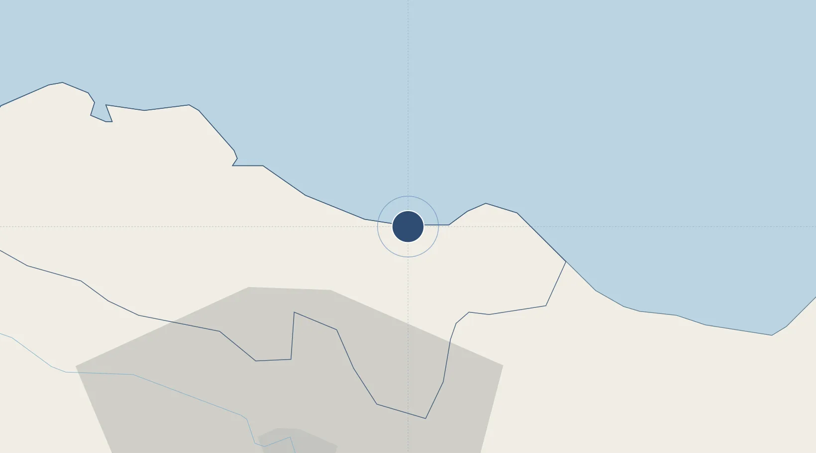
19.7579°, -70.5700°
10,108 ft
Longest runway
1
Runways
15 ft
Elevation

Runway & Layout

Gregorio Luperon International Airport runway & taxiway layout
Runway & taxiway layout — OpenStreetMap (ODbL) / OurAirports

Radio Frequencies

TWR
118 MHz
PUERTO PLATA TWR
GND
121.9 MHz
APP
119 MHz
PUERTO PLATA APP
OurAirports

Navaids

PPA NDB Puerto Plata 450 kHz
PTA VOR-DME Puerto Plata 115.10 MHz
OurAirports

Runways · 1

RunwayDimensions SurfaceTrue headingLit
08/26 10,108 × 151ft Asphalt 073°
OurAirports

Airport Specifications

IATA code
POP
OurAirports
ICAO code
MDPP
OurAirports
Airport class
Medium airport
OurAirports
Scheduled service
Yes
OurAirports
Runway surface
Asphalt
OurAirports
Served city
Puerto Plata
OurAirports

Location

Location of MDPP
Natural Earth 10m (public domain) · Puerto Plata · MDPP · 19.76, -70.57GoogleOSMYandex

Nearby Logistics Neighbours

Airports
  1. 1Cibao International Airport40 km
  2. 2Samaná El Catey International Airport103 km
  3. 3La Isabela International Airport145 km
  4. 4San Isidro Air Base163 km
  5. 5Los Llanos de Sabanatosa Airport169 km
Nearest neighbours — logibook spatial index (haversine) over the source coordinates
Cities
  1. 1Villa Gonzalez34 km
  2. 2Licey35 km
  3. 3Hato del Yaque38 km
  4. 4Moca42 km
  5. 5Luperon43 km
Nearest neighbours — logibook spatial index (haversine) over the source coordinates
Ports
  1. 1Puerto Plata14 km
  2. 2Amber Cove22 km
  3. 3Sanchez116 km
  4. 4Manzanillo124 km
  5. 5Pepillo Salcedo124 km
Nearest neighbours — logibook spatial index (haversine) over the source coordinates
Trade Zones
  1. 1Gregorio Luperón International Airport (Puerto Plata Airport)1 km
  2. 2Puerto Plata Industrial Free Zone17 km
  3. 3Zona Franca Bahia de Maimon18 km
  4. 4Zona Franca Palmar Abajo31 km
  5. 5Tamboril Industrial Free Zone32 km
Nearest neighbours — logibook spatial index (haversine) over the source coordinates
DatabookThe Record of Consolidated Knowledge
Dominican Republic beyond logistics?
Browse databook

All Sources

AirportsOurAirports
Public domain
Portsthe NGA World Port Index
Public domain (US gov)
LocationsUN/LOCODE
UN/LOCODE — free
Trade Zonesthe World Bank SEZ database
CC BY 4.0
Trade ZonesOpen Zone Map
CC BY
InfrastructureOpenStreetMap
ODbL 1.0
← Dominican Republic airports