Large airport · Dominican Republic

Cibao International AirportMDST
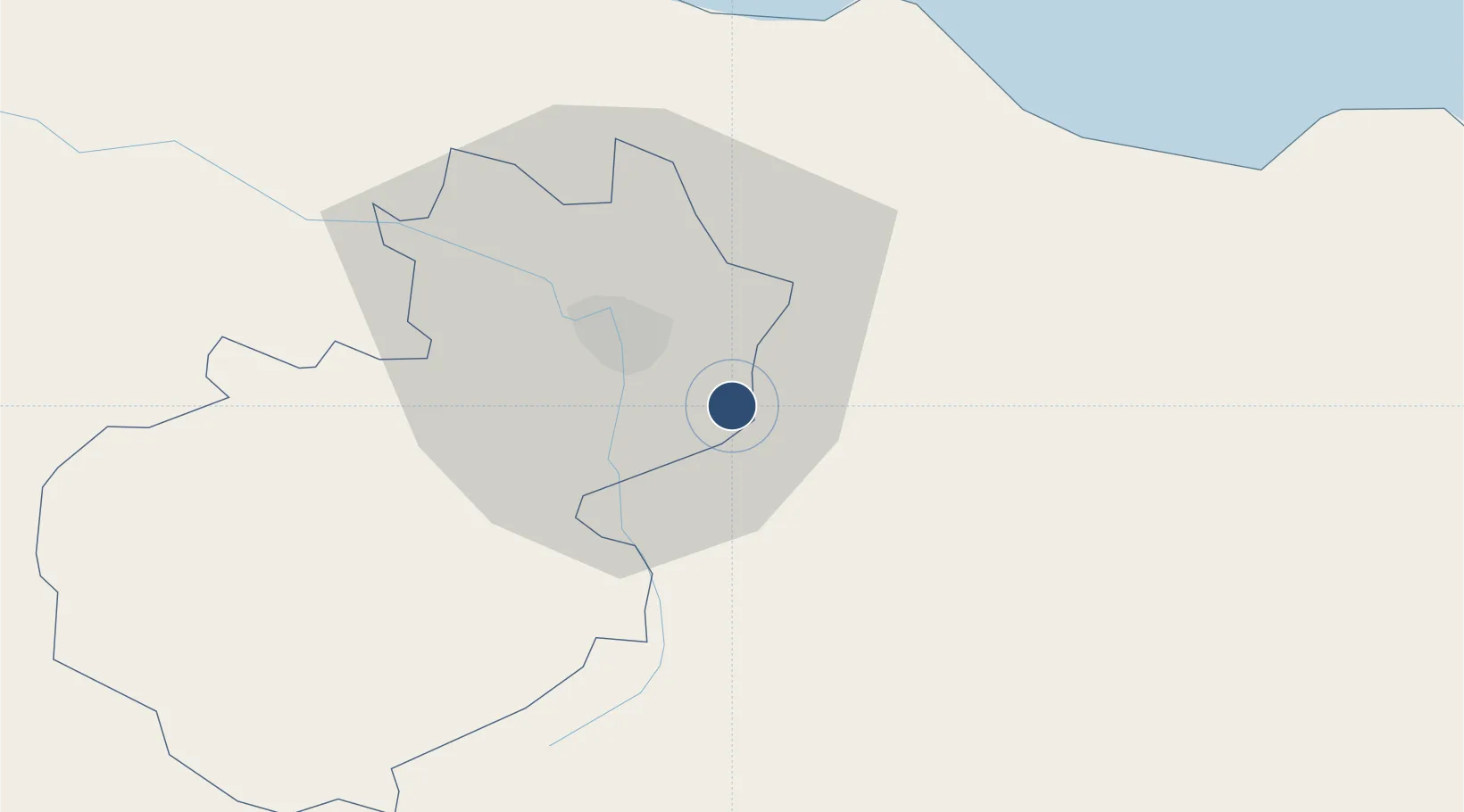
19.4041°, -70.6044°
8,595 ft
Longest runway
1
Runways
565 ft
Elevation

Runway & Layout

Cibao International Airport runway & taxiway layout
Runway & taxiway layout — OpenStreetMap (ODbL) / OurAirports

Radio Frequencies

TWR
118.3 MHz
SANTIAGO TWR
GND
121.9 MHz
APP
119 MHz
SANTIAGO APP
OurAirports

Navaids

SGO VOR-DME Santiago 114.90 MHz
OurAirports

Runways · 1

RunwayDimensions SurfaceTrue headingLit
11/29 8,595 × 148ft Asphalt 103°
OurAirports

Airport Specifications

IATA code
STI
OurAirports
ICAO code
MDST
OurAirports
Airport class
Large airport
OurAirports
Scheduled service
Yes
OurAirports
Runway surface
Asphalt
OurAirports
Served city
Santiago
OurAirports

Location

Location of MDST
Natural Earth 10m (public domain) · Santiago · MDST · 19.40, -70.60GoogleOSMYandex

Nearby Logistics Neighbours

Airports
  1. 1Gregorio Luperon International Airport40 km
  2. 2Samaná El Catey International Airport92 km
  3. 3La Isabela International Airport113 km
  4. 4San Isidro Air Base134 km
  5. 5Maria Montez International Airport139 km
Nearest neighbours — logibook spatial index (haversine) over the source coordinates
Cities
  1. 1Licey6 km
  2. 2Moca10 km
  3. 3Hato del Yaque18 km
  4. 4Villa Gonzalez24 km
  5. 5Jarabacoa32 km
Nearest neighbours — logibook spatial index (haversine) over the source coordinates
Ports
  1. 1Puerto Plata45 km
  2. 2Amber Cove51 km
  3. 3Sanchez105 km
  4. 4Puerto Viejo De Azua120 km
  5. 5Pepillo Salcedo125 km
Nearest neighbours — logibook spatial index (haversine) over the source coordinates
DatabookThe Record of Consolidated Knowledge
Dominican Republic beyond logistics?
Browse databook

All Sources

AirportsOurAirports
Public domain
Portsthe NGA World Port Index
Public domain (US gov)
LocationsUN/LOCODE
UN/LOCODE — free
Trade Zonesthe World Bank SEZ database
CC BY 4.0
Trade ZonesOpen Zone Map
CC BY
InfrastructureOpenStreetMap
ODbL 1.0
← Dominican Republic airports