Channel & Berth Profile
Pilotage, Tugs & Services
Pilotage compulsoryYES
Pilotage availableYES
Tug assistanceYES
Potable waterYES
Diesel bunkersYES
MedicalYES
Facilities & Capabilities
Container—
Ro-Ro—
Liquid bulk—
Dry bulk—
Oil terminal—
Break bulk—
Dry dockNO
RepairsNO
Bunkering—
Rail linkYES
Dangerous cargo—
ISPS security—
Harbour Specifications
Harbour size
Small
Harbour type
River (Natural)
Shelter
Good
Water body
Caribbean Sea; North Atlantic Ocean
Overhead limit
Yes
Pilotage
Yes
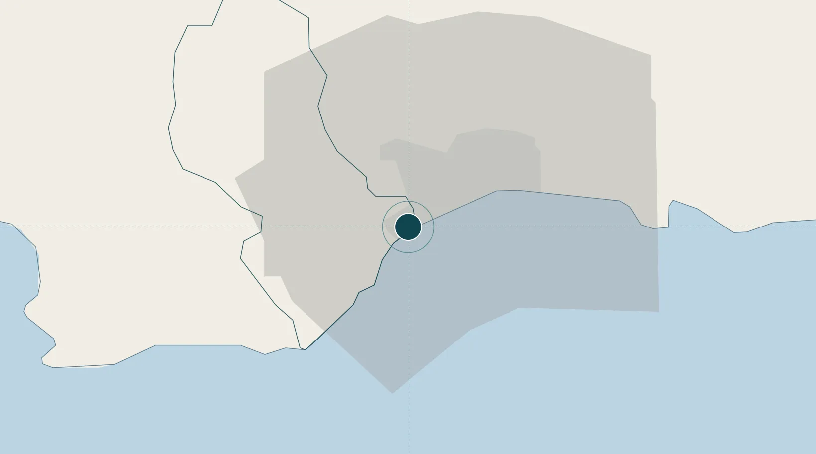
Location
Nearby Logistics Neighbours
Ports
- 1Santo Domingo15 km
- 2Andres (Andres Lng Terminal)41 km
- 3Las Calderas57 km
- 4San Pedro De Macoris74 km
- 5Puerto Viejo De Azua87 km
Cities
- 1Rio Haina2 km
- 2Pedro Brand2 km
- 3Barcequillo3 km
- 4Nigua7 km
- 5Santo Domingo14 km
Airports
DatabookThe Record of Consolidated Knowledge
Dominican Republic beyond logistics?