Channel & Berth Profile
Pilotage, Tugs & Services
Pilotage compulsoryYES
Pilotage availableYES
Tug assistanceNO
Salvage tugsNO
Potable waterYES
Diesel bunkersYES
MedicalYES
Facilities & Capabilities
Container—
Ro-Ro—
Liquid bulk—
Dry bulk—
Oil terminal—
Break bulk—
Dry dock—
Repairs—
BunkeringYES
Rail link—
Dangerous cargo—
ISPS security—
Harbour Specifications
Harbour size
Very Small
Harbour type
Open Roadstead
Shelter
Poor
Water body
Caribbean Sea; North Atlantic Ocean
Tidal range
1 m
Overhead limit
Yes
Pilotage
Yes
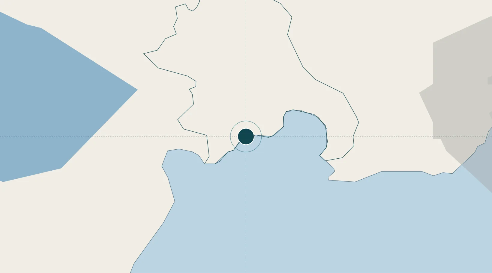
Location
Nearby Logistics Neighbours
Ports
- 1Santa Cruz De Barahona31 km
- 2Las Calderas37 km
- 3Puerto De Haina87 km
- 4Cabo Rojo99 km
- 5Santo Domingo101 km
Cities
- 1Azua15 km
- 2Las Calderas38 km
- 3Ocoa Bay40 km
- 4Baní53 km
- 5Higüey61 km
Airports
Trade Zones
DatabookThe Record of Consolidated Knowledge
Dominican Republic beyond logistics?