Transport Functions
Multimodal
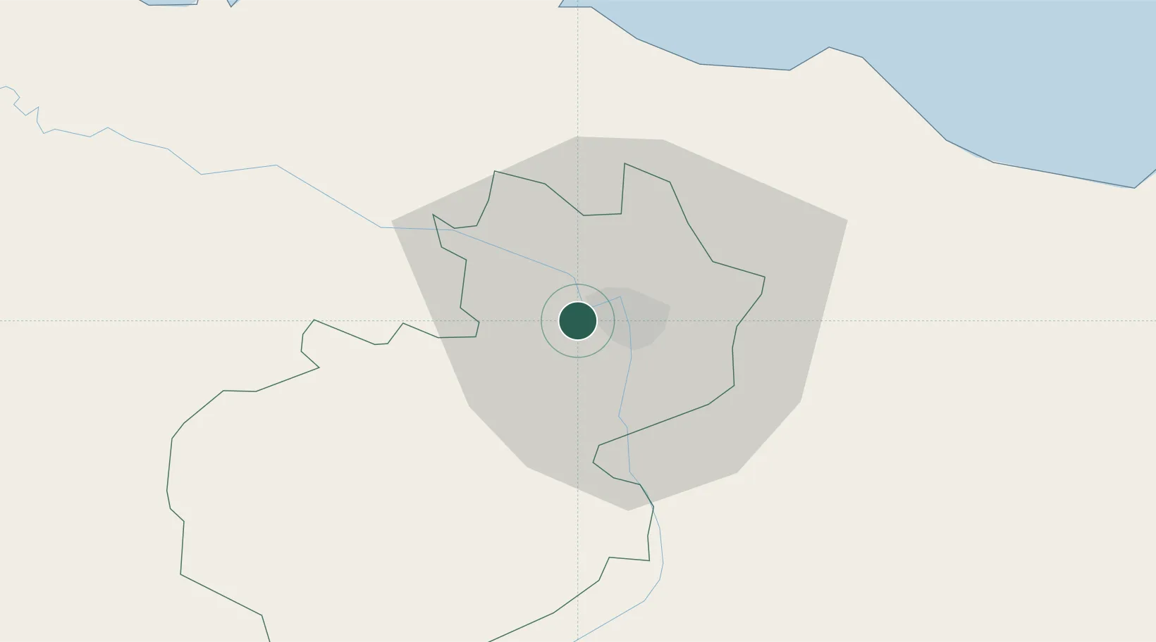
Hub Profile
Place type
Populated place
Region
Santiago Province
Time zone
America/Santo_Domingo
Elevation
140 m
Location
Nearby Logistics Neighbours
Cities
- 1Villa Gonzalez8 km
- 2Licey14 km
- 3Moca28 km
- 4Jarabacoa41 km
- 5Piloto48 km
Ports
- 1Puerto Plata38 km
- 2Amber Cove41 km
- 3Pepillo Salcedo106 km
- 4Manzanillo107 km
- 5Sanchez123 km
Airports
DatabookThe Record of Consolidated Knowledge
Dominican Republic beyond logistics?