UN/LOCODE hub · Dominican Republic
DOPIM
Pimentel
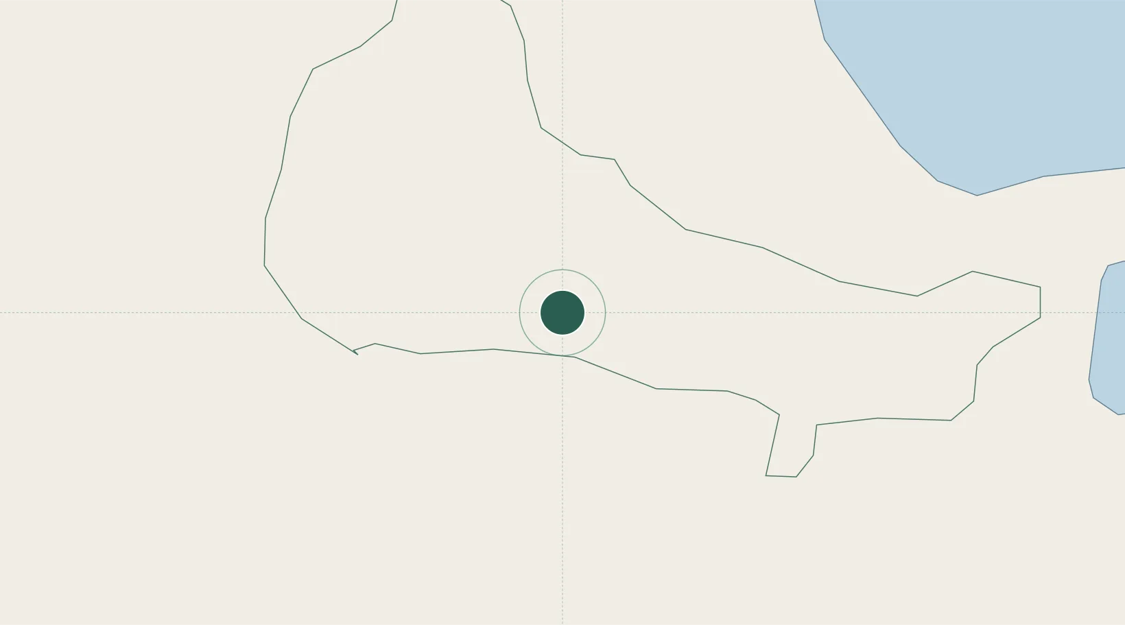
19.1833°, -70.1000°
9,550
Population
3
Transport functions
Transport Functions
Rail
Road
Multimodal
Hub Profile
Place type
Populated place
Region
Duarte Province
Population
9,550
Time zone
America/Santo_Domingo
Elevation
42 m
Location
Nearby Logistics Neighbours
Cities
- 1San Francisco de Macorís20 km
- 2Nagua36 km
- 3Bonao42 km
- 4Moca49 km
- 5Sánchez51 km
Ports
- 1Sanchez51 km
- 2Santa Barbara De Samana81 km
- 3Santo Domingo83 km
- 4Puerto De Haina86 km
- 5Puerto Plata93 km
Airports
DatabookThe Record of Consolidated Knowledge
Dominican Republic beyond logistics?